Archaeology and monuments in County Waterford
The Discover Alone map has 2,756 archaeology and monuments in County Waterford, Ireland. Below are the 60 with the most written about them, pictures first. Every one has its own page with directions and places nearby.
Open County Waterford on the map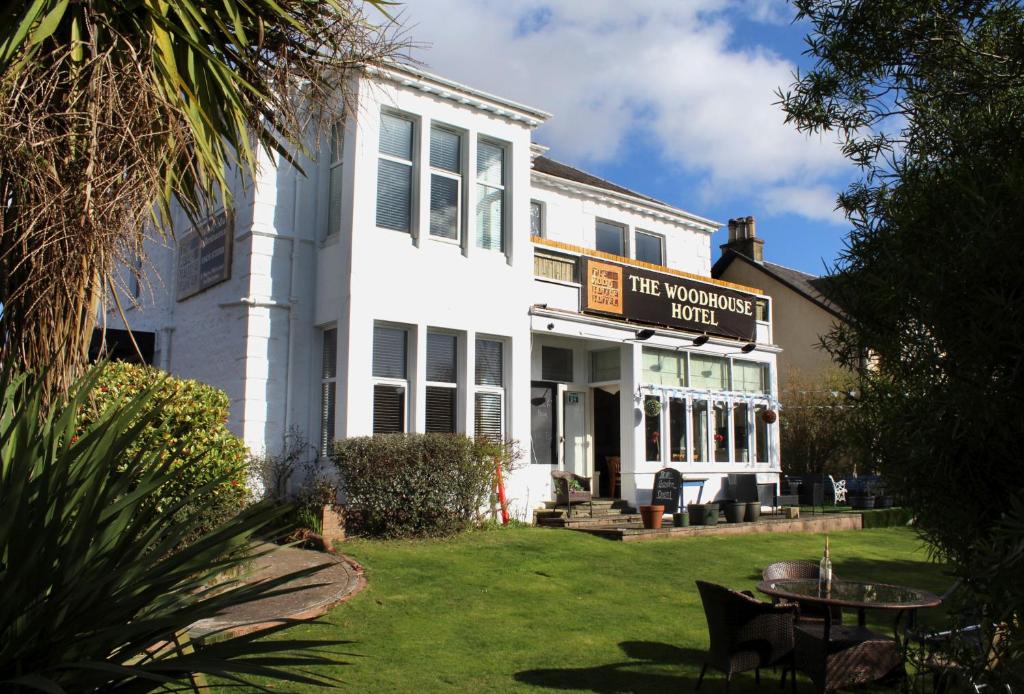 Woodhouse WellHoly wellWoodhouse Well is a holy well in Woodhouse OR Tinakilly, County Waterford, Ireland. The 1999 inventory recorded a…
 Windmill (in Ruins)WindmillWindmill (in Ruins) is a windmill in Ballinvella (gaultiere By.), County Waterford, Ireland. It is a conical tower that…
 Wind Mill (in ruins)WindmillWind Mill (in ruins) is a windmill in Crooke, County Waterford, Ireland. This cylindrical tower, which has an external…
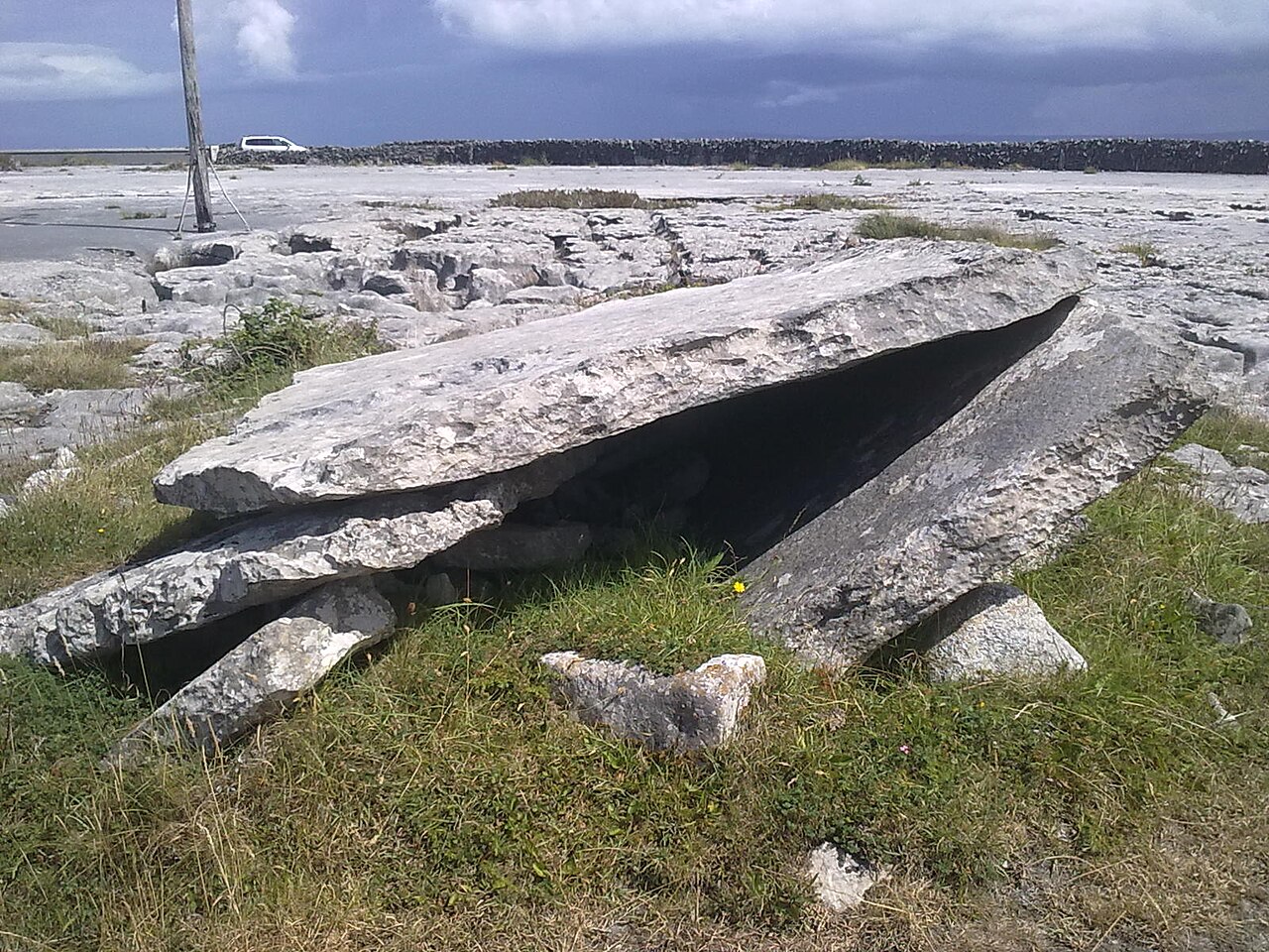 Wedge tomb in CarrickavrantryWedge tombWedge tomb in Carrickavrantry is a wedge tomb in Carrickavrantry, County Waterford, Ireland. It sits towards the top of…
 TurretStructureTurret is a structure in Ballinamona, County Waterford, Ireland. The 1778 Taylor and Skinner map shows the site…
 Town defences in Waterford CityTown defencesThe site of the town defences in Waterford City is in County Waterford, Ireland. The defences include an almost…
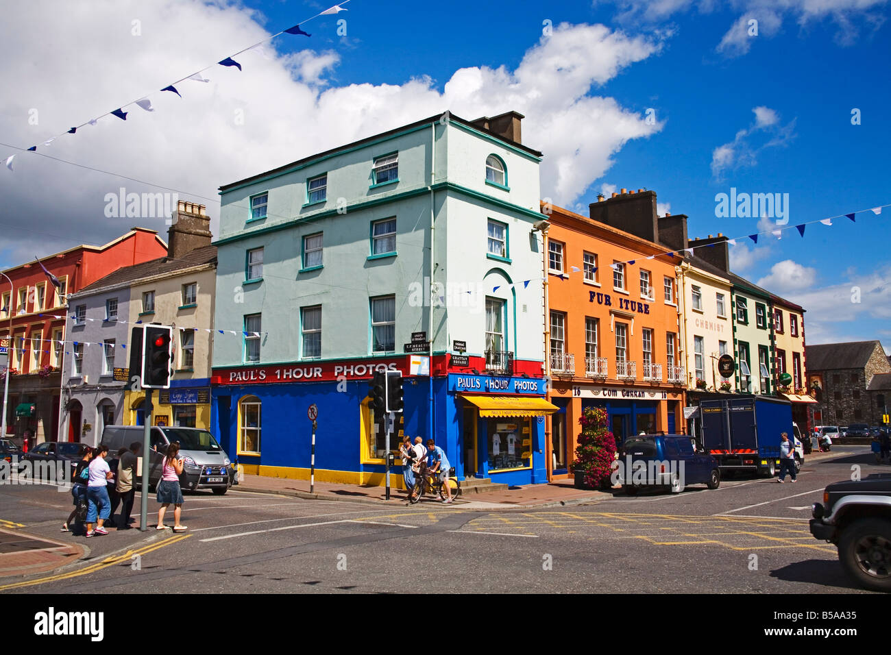 Town defences in DungarvanTown defencesThe site of the town defences in Dungarvan is in County Waterford, Ireland. The defences centred on the 13th-century…
 Tower (in ruins)Bastioned fortTower (in ruins) is a bastioned fort in Passage East, County Waterford, Ireland. A large circular tower was built…
 TombBurial groundTomb is a burial ground in Cappoquin Demesne, County Waterford, Ireland. The 1927 edition of the Ordnance Survey…
 ToberughtaHoly wellToberughta is a holy well in Monatray East, County Waterford, Ireland. The 1999 inventory recorded it on a severe…
 TobernaveakleHoly wellTobernaveakle is a holy well in Tinnalyra, County Waterford, Ireland. The site holds an open pond about four metres…
 TobernanangelHoly wellTobernanangel is a holy well in Kilmoyemoge East, County Waterford, Ireland. John O'Donovan recorded the site as a holy…
 TobernamnarialtaHoly wellTobernamnarialta is a holy well in Ballylane, County Waterford, Ireland. The 1929 inventory recorded it as a natural…
 Tobernahulla WellHoly wellTobernahulla Well is a holy well in Tobernahulla, County Waterford, Ireland. The 1999 inventory recorded the circular…
 TobernabraherHoly wellTobernabraher is a holy well in Ballyharrahan, County Waterford, Ireland. The 1999 county inventory recorded it in…
 Toberkilleagh WellHoly wellToberkilleagh Well is a holy well in Stradbally More, County Waterford, Ireland. The 1999 inventory recorded the…
 TobereenbanahaHoly wellSituated towards the botttom of a severe E and SE-facing slope, just above the W bank of the N-S River Blackwater. It…
 ToberatempleHoly wellMarked as a well described as 'Tobernatemple' on the 1840 and 1927 eds. of the OS 6-inch map. There is no other…
 ToberanashigHoly wellMarked as Tobar an Aisig, possibly meaning the well of vomiting, on the 1840 and 1925 eds. of the OS 6-in map. Situated…
 Tobar MocudaHoly wellSituated at the N edge of a plateau overlooking the Blackwater river valley to the N. Tobar Mocuda, which was venerated…
 Tobar a TuraisHoly wellTobar a Turais is a holy well in Camphire Hill, County Waterford, Ireland. Power recorded it at the bottom of a…
 Structure in Gracedieu WestStructureStructure in Gracedieu West is a structure in Gracedieu West, County Waterford, Ireland. Identified during centre-line…
 Structure in DungarvanStructureStructure in Dungarvan is a structure in Dungarvan, County Waterford, Ireland. Archaeological monitoring on the north…
 Structure in ComeraghmountainStructureOn a S-facing slope in high mountainous terrain in Coumtay Glen, in the Comeragh Mountains. There is a small mountain…
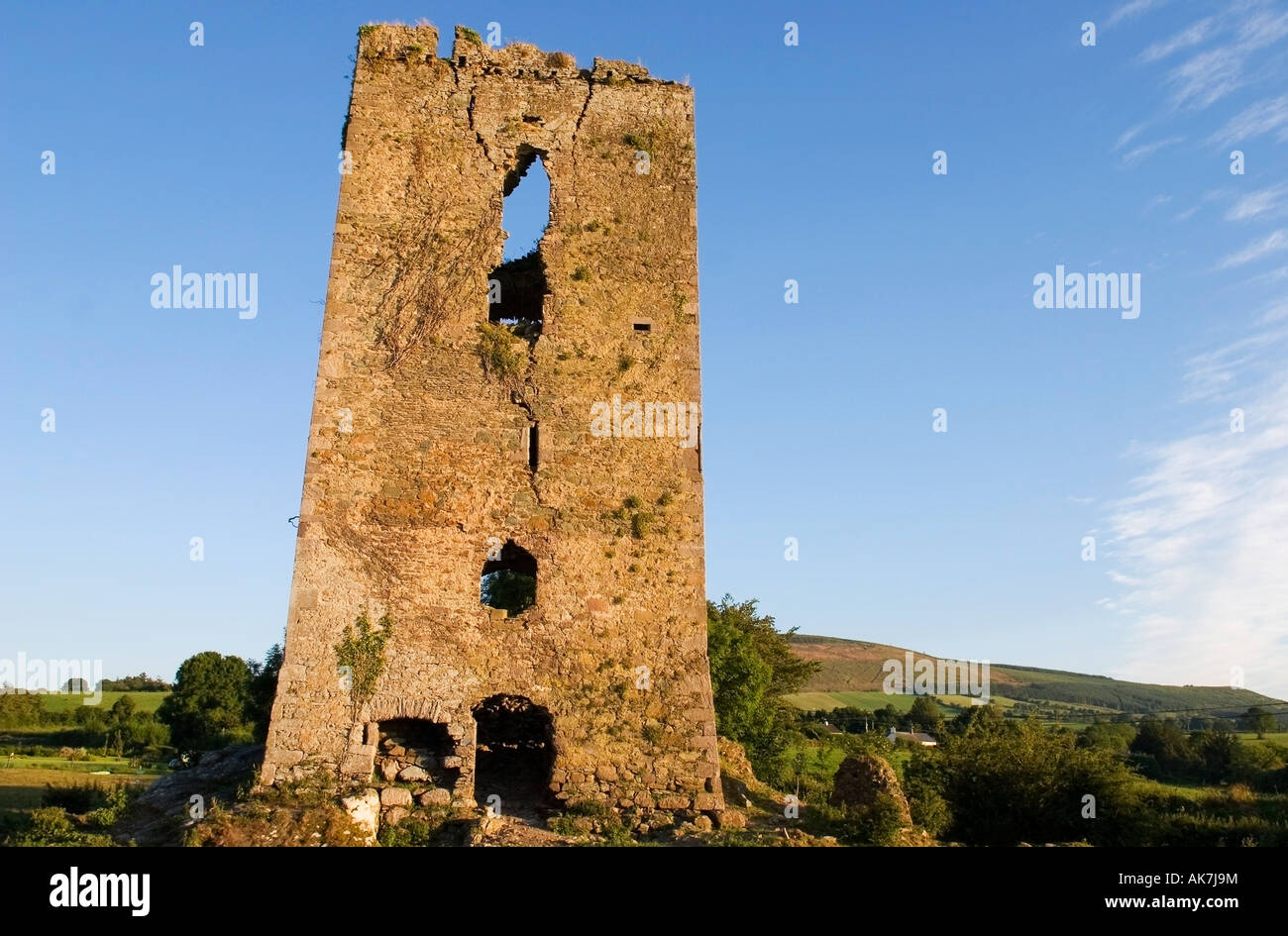 Structure in ComeraghmountainStructureIn a small river valley in high mountainous terrain above the Mahon Falls, in the Comeragh Mountains. The River Mahon…
 StradballySettlement clusterStradbally is a settlement cluster in Stradbally More, County Waterford, Ireland. The borough, known as Stradballydouyn…
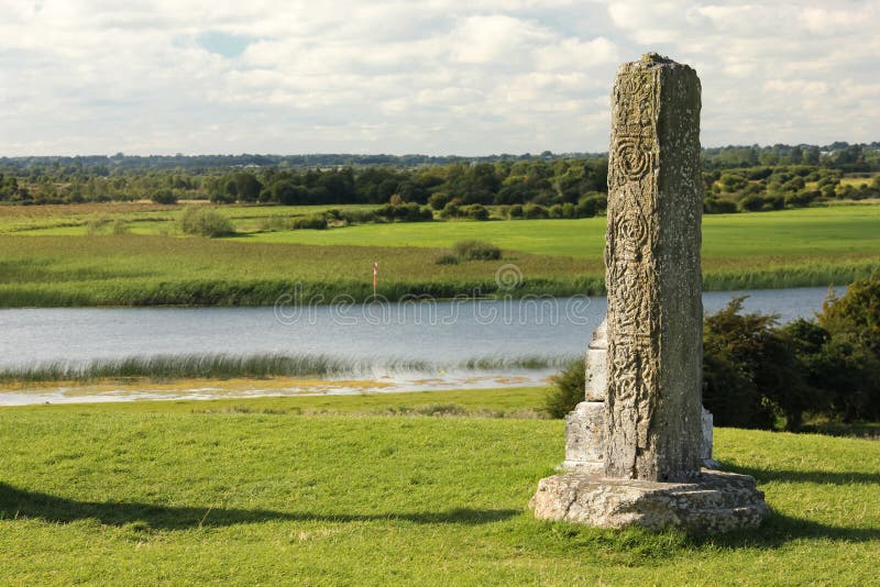 Stone CrossCross — High crossStone Cross is a cross (high cross) in Ballynaguilkee Lower, County Waterford, Ireland. It stands in pasture on level…
 Stone Altar (Site of)AltarStone Altar (Site of) is an altar in Tober, County Waterford, Ireland. The site occupies the north edge of a plateau…
 St Nicholas WellHoly wellSt Nicholas Well is a holy well in An Móta, County Waterford, Ireland. It occupied the south bank of a wide west-east…
 St Mochuas WellHoly wellSt Mochuas Well is a holy well in Clashmore, County Waterford, Ireland. The 1929 inventory recorded a circular drystone…
 St Michaels WellHoly wellSt Michaels Well is a holy well in Templemichael, County Waterford, Ireland. It is a natural spring about 1.5 metres…
 St Michaels WellHoly wellSt Michaels Well is a holy well in Knocknahoola, County Waterford, Ireland. It occupies a high plateau with a slight…
 St. Martins WellHoly wellSituated towards the bottom of a W-facing slope. This is a holy well which traditionally had a cure for headaches. A…
 St Johns WellHoly wellSt Johns Well is a holy well in Kilmacthomas, County Waterford, Ireland. The 2010 account recorded a natural spring in…
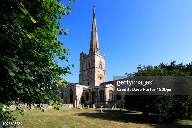 St. Johns WellHoly wellSt. Johns Well is a holy well in Crooke, County Waterford, Ireland. It occupies a southwest-facing slope about fifteen…
 St. John the Baptists WellHoly wellLocated towards the bottom of a S-facing slope. The holy well of St John the Baptist, a natural spring, is c. 50m to…
 St. Declans WellHoly wellSt. Declans Well is a holy well in Dysert, County Waterford, Ireland. The masonry structure sits twenty metres west of…
 St. Declans TombChurchSt. Declans Tomb is a church in Ardocheasty, County Waterford, Ireland. St Declan’s Oratory measures 6.4 metres east to…
 St. Declans StoneRitual site — holy/saint's stoneSt. Declans Stone is a ritual site (holy or saint's stone) in Duffcarrick, County Waterford, Ireland. It sits on a rock…
 St. Columkilles WellHoly wellSt. Columkilles Well is a holy well in Curraghroche, County Waterford, Ireland. The 1994 account recorded a circular…
 St. Colmans TreeRitual site — holy tree/bushSt. Colmans Tree is a ritual site (holy tree or bush) in Kilcolman, County Waterford, Ireland. The Grand Jury map of…
 St. Catherines WellHoly wellSt. Catherines Well is a holy well in Abbeyside, County Waterford, Ireland. The 1840 and 1927 Ordnance Survey maps…
 St. Carthaghs WellHoly wellSt. Carthaghs Well is a holy well in Lismore (coshmore and Coshbride By.), County Waterford, Ireland. A plaque records…
 St. Carthaghs WellHoly wellSt. Carthaghs Well is a holy well in Carrignagower West, County Waterford, Ireland. The 1999 Archaeological Inventory…
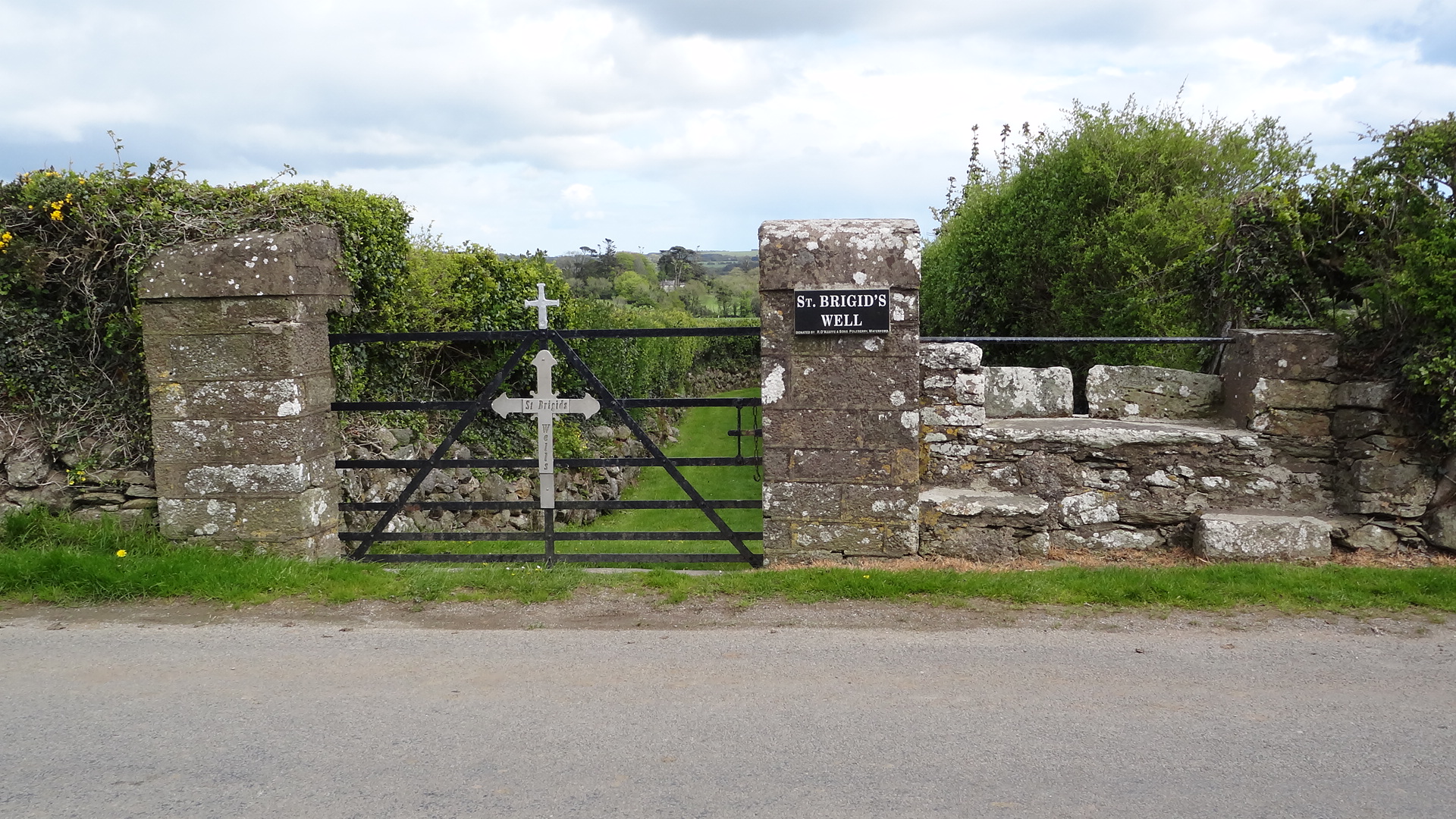 St. Bridgets WellHoly wellSt. Bridgets Well is a holy well in Ardsallagh, County Waterford, Ireland. The 1999 County Waterford inventory recorded…
 St. Bartholomews WellHoly wellSt. Bartholomews Well is a holy well in Moord, County Waterford, Ireland. The 1999 inventory recorded a rectangular…
 St Annes WellHoly wellSituated at the head of a W-E ravine ovelooking Passage East, which is c. 140m to the E, and there is a green road (Wth…
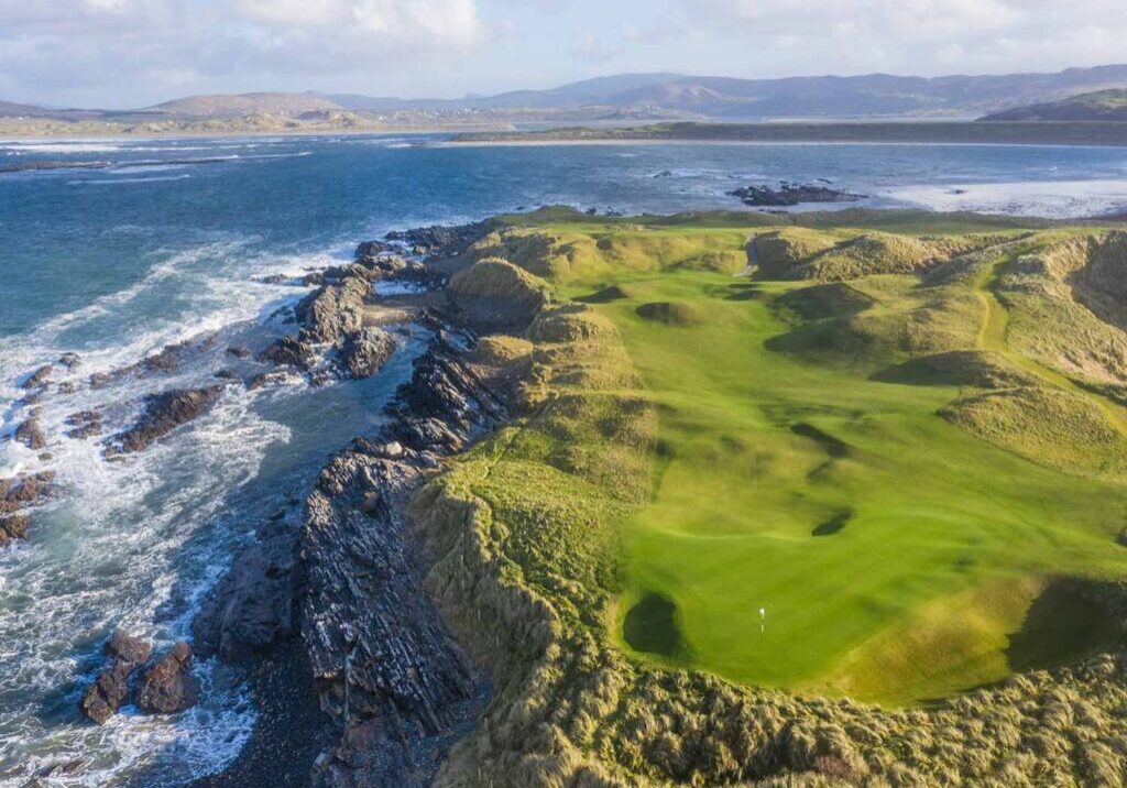 Slippery IslandPromontory fort — coastalSlippery Island is a promontory fort (coastal) in Ballynarrid, County Waterford, Ireland. The coastal site occupies a…
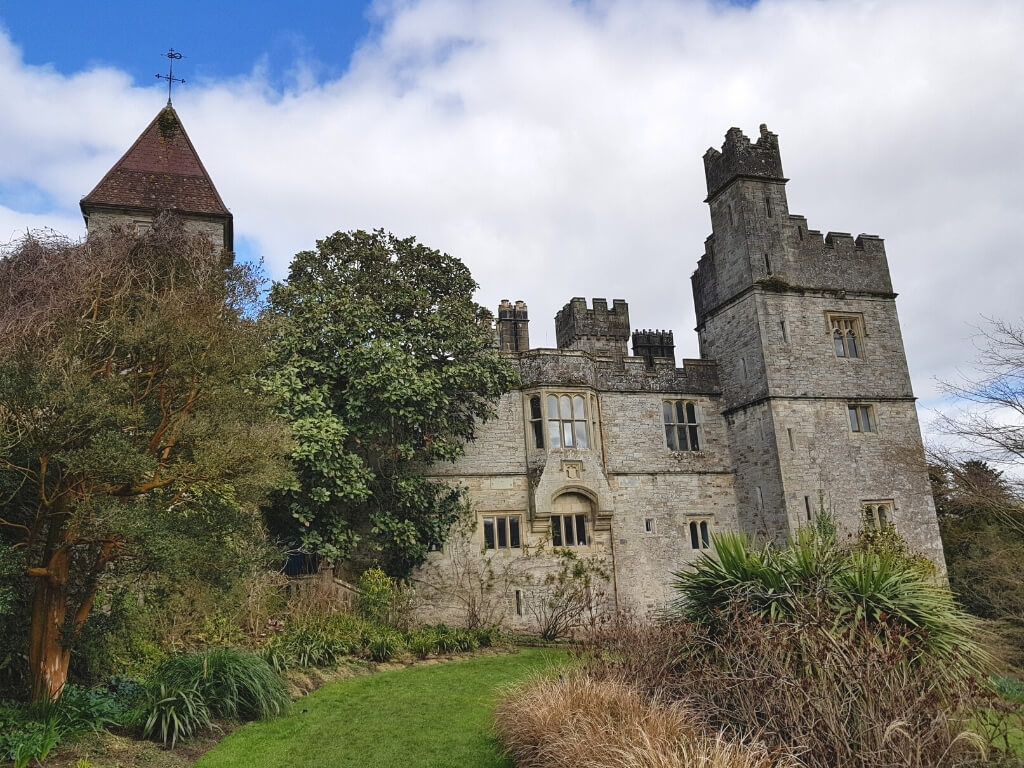 (Site of) White fortFairy fort / earthen ringfort(Site of) White fort is a fairy fort or earthen ringfort in Caherbaun, County Waterford, Ireland. The 1999 inventory…
 Site of St. Nicholas ChurchChurchSite of St. Nicholas Church is a church in Kill St. Nicholas, County Waterford, Ireland. The nave and chancel were in…
 Site of St. Johns ChurchChurchSite of St. Johns Church is a church in Killone, County Waterford, Ireland. It served as a rectory of St Catherine's…
 Site of R. C. ChapelChurchSite of R. C. Chapel is a church in Ballydermody, County Waterford, Ireland. The 1840 Ordnance Survey map marked the…
 Site of Old Br.BridgeA bridge spanned the E-W River Nier on the main road from Clonmel to Dungarvan until 1798 when the present road was…
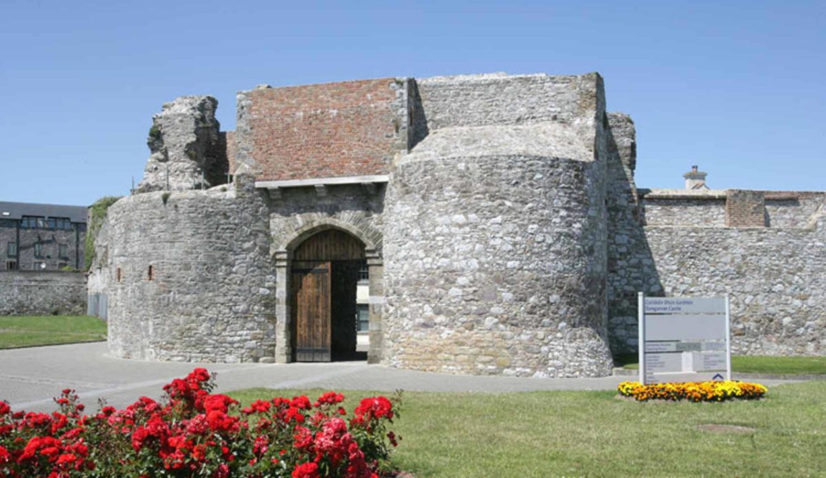 Site of Mullowneys VillageSettlement deserted — medievalSite of Mullowneys Village is a settlement deserted (medieval) in Carriglea (decies Without Drum By.), County…
 (Site of) LissacarrigaunFairy fort / ringfortMarked faintly as a subcircular enclosure (diam. c. 60m E-W; c. 50m N-S) described as the site of 'Lissacarrigaun' on…
 (Site of) LisnagreeFairy fort / ringfort(Site of) Lisnagree is a fairy fort or ringfort in Scart (sergeant), County Waterford, Ireland. The 1840 and 1927…
 Site of LiseamiskaFairy fort / ringfortSite of Liseamiska is a fairy fort or ringfort in Ballydavid, County Waterford, Ireland. The 1840 edition of the…
 Site of Kilteera Grave YardBurial groundSite of Kilteera Grave Yard is a burial ground in Dromore, County Waterford, Ireland. The later prehistoric or Early…
 (Site of) Kilmaline R.C. ChapelChurch(Site of) Kilmaline R.C. Chapel is a church in Derry Upper, County Waterford, Ireland. Not visible at ground level…
 Site of Killone WellHoly wellSite of Killone Well is a holy well in Park (upperthird By.), County Waterford, Ireland. It occupied the early…