
What is recorded here
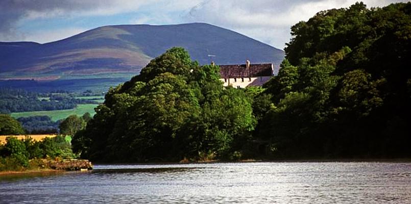
A bridge spanned the E-W River Nier on the main road from Clonmel to Dungarvan until 1798 when the present road was built through Ballymacarbry to service the copper mines. Built by Sir Richard Boyle in the early 17th century at the lowest bridging point of the river, it was soon washed away but later rebuilt. It is marked as 'Site of Old Bridge' on the 1840 ed. of OS 6-inch map but no trace of it remains.
The above description is derived from the published 'Archaeological Inventory of County Waterford' (Dublin: Stationery Office, 1999). In certain instances the entries have been revised and updated in the light of recent research.
Date of upload/revision: 23 December 2008
The monument record does not grant public access. Check the route and ask the landowner before entering private land.
- What survives
- Recorded monument
Places near here
 Castle Coonagh (in ruins)Castle, tower house · 306 yd
 Enclosure in TooracurraghEnclosure · 567 yd
 Catholic Church of Our Lady and Saint Laurencechurch/chapel · 594 yd
 IndicatedChurch · 836 yd
 Cross in KilcregganeCross · 869 yd
 Curraghcloney CastleCastle · 1.9 mi
 Laeka WoodWood · 2.4 mi
 European long distance path E8 - part IrelandWalking route · 2.5 mi
 Pigeon HillMountain / peak · 3.5 mi
 Carey's Castle WoodsVisitor information · 3.6 mi
 Turraphuca WoodForest · 3.9 mi
 Laghtnafrankee SW TopMountain / peak · 3.9 mi
Other information
Photo: Credit not shown in the picture search · Rights wording not checked; contact us if this picture should be removed