What is recorded here
Situated on a hill overlooking the Barrow/Suir estuary and Passage East (WA018-009----). Described as 'in ruins' on the 1840 ed. of the OS 6-inch map. A cylindrical tower (ext. diam. 5.3m; int. diam. 3.5m) surviving to the first floor (max. H 4.8m) with opposing doorways at WNW and ESE. Stairs project from the inner face of the wall and rise from the WNW doorway, curving around the wall anti-clockwise to the first floor which has one surviving window. The ground floor has two alcoves. Archaeological testing (03E0606 ext.) by Stuart D. Elder within 25m to the W failed to produce any related material (Elder 2006c). (Decie 1983, 46)
Decie. (1983) Old Waterford Society Survey. Decies No. 24, 42-57. Elder, S. D. (2006c) Knockroe. No archaeological significance. in I. Bennett (Ed.) Excavations 2003: summary accounts of excavations in Ireland, 507, No. 1912. Wordwell, Bray.
Situated on a hill overlooking the Barrow/Suir estuary and Passage East (WA018-009----). Described as 'in ruins' on the 1840 ed. of the OS 6-inch map. A cylindrical tower (ext. diam. 5.3m; int. diam. 3.5m) surviving to the first floor (max. H 4.8m) with opposing doorways at WNW and ESE. Stairs project from the inner face of the wall and rise from the WNW doorway, curving around the wall anti-clockwise to the…
From the National Monuments Service (Archaeological Survey of Ireland) record WA018-010
The monument record does not grant public access. Check the route and ask the landowner before entering private land.
- What survives
- Recorded monument
Places near here
St Annes WellHoly well · 239 yd monument282 ydIvory MemorialMemorial · 287 ydSandbanksHouse · 329 ydBallyhack Castle (in ruins)Castle, tower house · 1340 ydArthurstown BeachBeach / strand · 1.0 miGeneva BarracksCastle · 1.2 miCommon Whitebeam1.7 miNook BayBay · 1.9 miDuncannon FortBastioned fort · 1.9 miDuncannon BeachVisitor information · 2.1 miDuncannonBeach / strand · 2.3 mi
 monument282 ydIvory MemorialMemorial · 287 yd
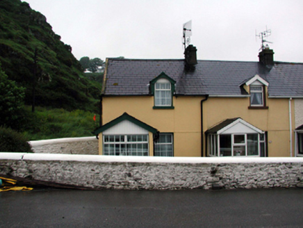 SandbanksHouse · 329 yd
 Ballyhack Castle (in ruins)Castle, tower house · 1340 yd
 Arthurstown BeachBeach / strand · 1.0 mi
 Geneva BarracksCastle · 1.2 mi
 Common Whitebeam1.7 mi
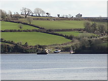 Nook BayBay · 1.9 mi
 Duncannon FortBastioned fort · 1.9 mi
 Duncannon BeachVisitor information · 2.1 mi
 DuncannonBeach / strand · 2.3 mi
Pictures: National Inventory of Architectural Heritage; Alanna Milbourne, Wikimedia Commons · CC BY-SA 4.0; Humphrey Bolton, Geograph · CC BY-SA 2.0; RTG, Wikimedia Commons · CC BY-SA 4.0; Julie Anne Workman, Wikimedia Commons · CC BY-SA 3.0; Redmond O'Brien, Geograph · CC BY-SA 2.0; Brian Hodge, Wikimedia Commons · CC BY-SA 2.0; P L Chadwick, Geograph · CC BY-SA 2.0; Gfox228, Wikimedia Commons · CC BY 3.0
More archaeology and monuments in County Waterford · All of County Waterford
What do you know about this place?