What is recorded here
Situated at the head of a W-E ravine ovelooking Passage East, which is c. 140m to the E, and there is a green road (Wth 8m) running E-W past the well just to its S. It is marked similarly on the 1840 and 1925 eds of the OS 6-inch map. It is a roofed concrete chamber (dims. 0.97m NW-SE; 0.74m NE-SW; H of opening 0.75m) with an entrance passage (Wth 0.56m; L c. 3m) defined by concrete walls (L c. 3m; H 0.55m) approaching from the SW. There is no evidence of veneration. St Anne's Church (WA018-009003-) is c. 90m to the NE.
Situated at the head of a W-E ravine ovelooking Passage East, which is c. 140m to the E, and there is a green road (Wth 8m) running E-W past the well just to its S. It is marked similarly on the 1840 and 1925 eds of the OS 6-inch map. It is a roofed concrete chamber (dims. 0.97m NW-SE; 0.74m NE-SW; H of opening 0.75m) with an entrance passage (Wth 0.56m; L c. 3m) defined by concrete walls (L c. 3m; H 0.55m)…
From the National Monuments Service (Archaeological Survey of Ireland) record WA018-009004
The monument record does not grant public access. Check the route and ask the landowner before entering private land.
- What survives
- Recorded monument
Places near here
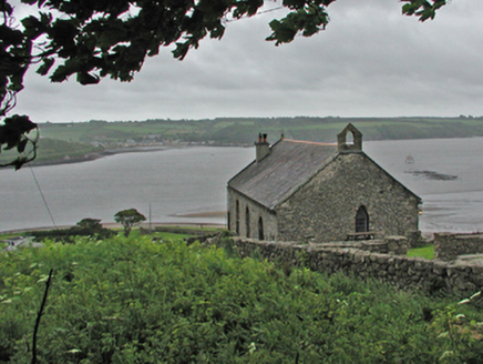 Saint Anne's Church (Kill Saint Nicholas)Church/chapel · 115 yd
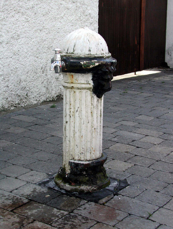 water pump204 ydPassageSettlement cluster · 227 ydIvory MemorialMemorial · 470 yd
 Ballyhack Castle (in ruins)Castle, tower house · 1124 yd
 Arthurstown BeachBeach / strand · 1664 yd
 Geneva BarracksCastle · 1.3 mi
 Common Whitebeam1.7 mi
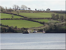 Nook BayBay · 1.8 mi
 Duncannon FortBastioned fort · 2.0 mi
 Duncannon BeachVisitor information · 2.1 mi
 DuncannonBeach / strand · 2.3 mi
Pictures: National Inventory of Architectural Heritage; Alanna Milbourne, Wikimedia Commons · CC BY-SA 4.0; Humphrey Bolton, Geograph · CC BY-SA 2.0; RTG, Wikimedia Commons · CC BY-SA 4.0; Julie Anne Workman, Wikimedia Commons · CC BY-SA 3.0; Redmond O'Brien, Geograph · CC BY-SA 2.0; Brian Hodge, Wikimedia Commons · CC BY-SA 2.0; P L Chadwick, Geograph · CC BY-SA 2.0; Gfox228, Wikimedia Commons · CC BY 3.0
More archaeology and monuments in County Waterford · All of County Waterford
What do you know about this place?