What is recorded here
Situated on flat ground at the base of high cliffs on the W side of the Barrow/Suir estuary. A ferry which crossed at the narrowest part of the channel, linking Passage East with Ballyhack, Co. Wexford, gave the town its name. It was part of the defences of Waterford City (WA009-005----) and was incorporated into the municipal borough. A settlement developed here, although it was not constituted as a town. A blockhouse (WA018-009001-) was built before 1568 which became the nucleus of a fort and small settlement, of which Aylward House (WA018-009002-) is a part. The fort and settlement covered an area of c. 4ha on the shore and may have been unwalled. A church (WA018-009003-) and windmill (WA018-009002-) are outside Passage East on the cliffs to the W and S. (Walton 1979a; 1979b; 1979c)
Walton, J. (1979a) Aspects of Passage East. Part I. Decies, No. 10, 23-8.
Walton, J. (1979b) Aspects of Passage East. Part II. Decies, No. 11, 17-25.
Walton, J. (1979c) Aspects of Passage East. Part III. Decies, No. 12, 43-5.
The above description is derived from the published 'Archaeological Inventory of County Waterford' (Dublin: Stationery Office, 1999). In certain instances the entries have been revised and updated in the light of recent research.
Date of upload/revision: 23 December 2008
The monument record does not grant public access. Check the route and ask the landowner before entering private land.
- What survives
- Recorded monument
Places near here
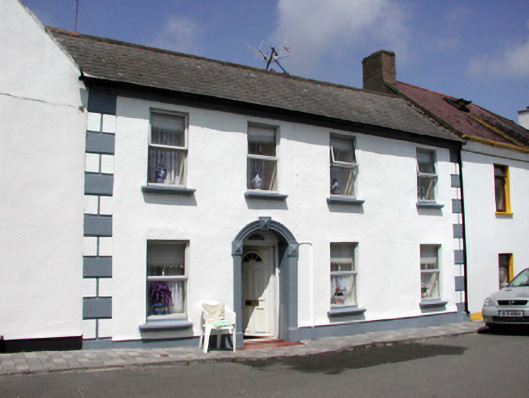 Síocháinhouse · 12 yd
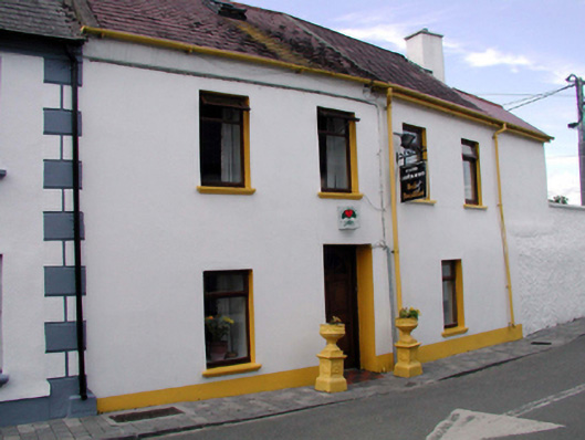 Cois Abhannhouse · 21 yd
 Tower (in ruins)Bastioned fort · 138 yd
 St Annes WellHoly well · 227 yd
 Ivory MemorialMemorial · 550 yd
 Otter with a SalmonMemorial · 747 yd
 Ballyhack Castle (in ruins)Castle, tower house · 922 yd
 Arthurstown BeachBeach / strand · 1448 yd
 Castle (in ruins)Castle, tower house · 1491 yd
 Catherine's BayBay · 1.6 mi
 Common WhitebeamCommon Whitebeam · 1.6 mi
 Nook BayBay · 1.7 mi
Other information
Photo: Credit not shown in the picture search · Rights wording not checked; contact us if this picture should be removed