What is recorded here
Situated on a gentle SE-facing slope. Land at Crooke was granted by Henry II to the Knights Templar before 1180, although the tower house is traditionally thought to have been built by the le Poers of Curraghmore (WA008-005001-) (Gwynn and Hadcock 1970, 329-30). When the order was suppressed c. 1308 Crooke was briefly held by the Knights Hospitallers of Killure (WA017-018001-). After the Suppression it was owned successively by William Wyse, Robert Woodford, Anthony Power, and jointly by Sir John King and Adam Loftus. The Aylward family acquired it shortly after 1615 and held it until the Cromwellian dispossessions when it was assigned to Duncannon fort, Co. Wexford. (Walton 1979a)
Only the SE corner with cut-stone quoins, a base-batter and three lights from a destroyed mural staircase survive. Described by O'Donovan c. 1840 (O'Flanagan 1929, 5-6) as comprising the S and W walls to a height of c. 8m with a rectangular ground plan (dims. c. 13.2m E-W; c. 9.5m N-S). There was a doorway in the E wall and mural stairs in the E and S walls rose to the first floor over a barrel vault which then partly survived (ibid.). Crooke church (WA018-023001-) is c. 70m to N and the surrounding fields have slight traces of old field banks over an area of c. 2ha. (Power 1890-91, 479-80)
Gwynn, A. and Hadcock, R. N. (1970) (reprint 1988) Medieval religious houses in Ireland. Irish Academic Press, Dublin. O'Flanagan, M. (Compiler) (1929) Letters containing information relative to the antiquities of the county of Waterford collected during the progress of the Ordnance Survey in 1841. Typescript. Bray. Power, Rev. P. (1890-91) The ancient ruined churches of Co. Warterford. JRSAI 20-21, 475-82. Walton, J. (1979c) Aspects of Passage East. Part III. Decies, No. 12, 43-5. 22/1976).
Situated on a gentle SE-facing slope. Land at Crooke was granted by Henry II to the Knights Templar before 1180, although the tower house is traditionally thought to have been built by the le Poers of Curraghmore (WA008-005001-) (Gwynn and Hadcock 1970, 329-30). When the order was suppressed c. 1308 Crooke was briefly held by the Knights Hospitallers of Killure (WA017-018001-). After the Suppression it was owned…
From the National Monuments Service (Archaeological Survey of Ireland) record WA018-023002
The monument record does not grant public access. Check the route and ask the landowner before entering private land.
- What survives
- Recorded monument
Places near here
St. Johns WellHoly well · 58 yd Catholic Church of Saint John the BaptistOfficially recorded historic building · 513 ydThe Old School HouseSchool · 870 ydGeneva BarracksCastle · 1030 ydBallyhack Castle (in ruins)Castle, tower house · 1.4 miArthurstown BeachBeach / strand · 1.5 miDuncannon FortBastioned fort · 1.9 miDuncannon BeachVisitor information · 2.0 miWoodstown StrandBeach / strand · 2.1 miCommon Whitebeam2.1 miCheek PointHeadland · 3.0 miMonterey Cypress4.3 mi
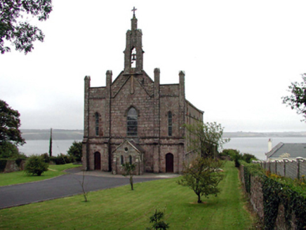 Catholic Church of Saint John the BaptistOfficially recorded historic building · 513 yd
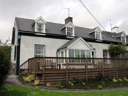 The Old School HouseSchool · 870 yd
 Geneva BarracksCastle · 1030 yd
 Ballyhack Castle (in ruins)Castle, tower house · 1.4 mi
 Arthurstown BeachBeach / strand · 1.5 mi
 Duncannon FortBastioned fort · 1.9 mi
 Duncannon BeachVisitor information · 2.0 mi
 Woodstown StrandBeach / strand · 2.1 mi
 Common Whitebeam2.1 mi
 Cheek PointHeadland · 3.0 mi
 Monterey Cypress4.3 mi
Pictures: National Inventory of Architectural Heritage; RTG, Wikimedia Commons · CC BY-SA 4.0; Alanna Milbourne, Wikimedia Commons · CC BY-SA 4.0; Humphrey Bolton, Geograph · CC BY-SA 2.0; Brian Hodge, Wikimedia Commons · CC BY-SA 2.0; P L Chadwick, Geograph · CC BY-SA 2.0; Paul O'Farrell, Geograph · CC BY-SA 2.0; Julie Anne Workman, Wikimedia Commons · CC BY-SA 3.0; John Myers, Geograph · CC BY-SA 2.0; Vadim Manuylov, Wikimedia Commons · CC BY-SA 3.0
More castles and forts in County Waterford · All of County Waterford
What do you know about this place?