What is recorded here
Situated on a SW-facing slope, c. 15m SE of the graveyard (WA018-023003-). The well was described by J. O'Donovan c. 1840 as covered and it had a pointed doorway at S. Patterns were held there on the 24th of June until c. 1800 (O'Flanagan 1929, 5). It is now a pool (diam. c. 3m), with evidence of a grass-covered stoney perimeter W-E. There are also two stones with chamfered edges, while a third is from the curved arch of a doorway, cofirming O'Donovan's description. The tower house (WA018-023002-) is c. 50m to the S. O'Flanagan, M. (Compiler) (1929) Letters containing information relative to the antiquities of the county of Waterford collected during the progress of the Ordnance Survey in 1841. Typescript. Bray. This monument is subject to a preservation order made under the National Monuments Acts 1930 to 2014 (PO no. 22/1976).
Situated on a SW-facing slope, c. 15m SE of the graveyard (WA018-023003-). The well was described by J. O'Donovan c. 1840 as covered and it had a pointed doorway at S. Patterns were held there on the 24th of June until c. 1800 (O'Flanagan 1929, 5). It is now a pool (diam. c. 3m), with evidence of a grass-covered stoney perimeter W-E. There are also two stones with chamfered edges, while a third is from the curved…
From the National Monuments Service (Archaeological Survey of Ireland) record WA018-023004
The monument record does not grant public access. Check the route and ask the landowner before entering private land.
- What survives
- Recorded monument
Places near here
Grave YardGraveyard · 59 yd Catholic Church of Saint John the BaptistOfficially recorded historic building · 480 ydThe Old School HouseSchool · 815 ydGeneva BarracksCastle · 1086 ydBallyhack Castle (in ruins)Castle, tower house · 1.3 miArthurstown BeachBeach / strand · 1.5 miDuncannon FortBastioned fort · 1.9 miDuncannon BeachVisitor information · 2.0 miCommon Whitebeam2.1 miWoodstown StrandBeach / strand · 2.1 miCheek PointHeadland · 3.0 miMonterey Cypress4.3 mi
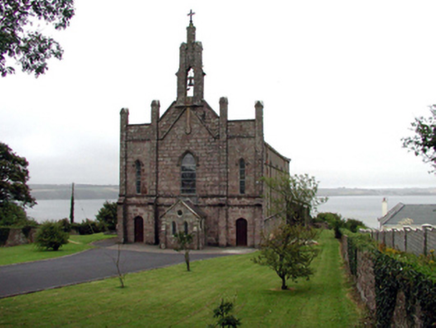 Catholic Church of Saint John the BaptistOfficially recorded historic building · 480 yd
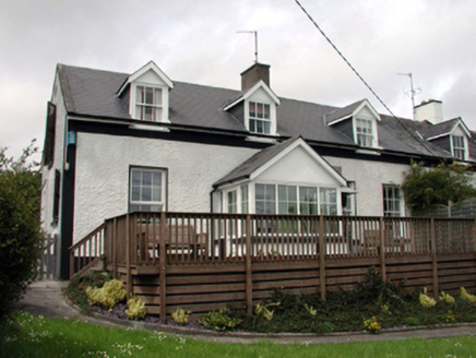 The Old School HouseSchool · 815 yd
 Geneva BarracksCastle · 1086 yd
 Ballyhack Castle (in ruins)Castle, tower house · 1.3 mi
 Arthurstown BeachBeach / strand · 1.5 mi
 Duncannon FortBastioned fort · 1.9 mi
 Duncannon BeachVisitor information · 2.0 mi
 Common Whitebeam2.1 mi
 Woodstown StrandBeach / strand · 2.1 mi
 Cheek PointHeadland · 3.0 mi
 Monterey Cypress4.3 mi
Pictures: National Inventory of Architectural Heritage; RTG, Wikimedia Commons · CC BY-SA 4.0; Alanna Milbourne, Wikimedia Commons · CC BY-SA 4.0; Humphrey Bolton, Geograph · CC BY-SA 2.0; Brian Hodge, Wikimedia Commons · CC BY-SA 2.0; P L Chadwick, Geograph · CC BY-SA 2.0; Julie Anne Workman, Wikimedia Commons · CC BY-SA 3.0; Paul O'Farrell, Geograph · CC BY-SA 2.0; John Myers, Geograph · CC BY-SA 2.0; Vadim Manuylov, Wikimedia Commons · CC BY-SA 3.0
More archaeology and monuments in County Waterford · All of County Waterford
What do you know about this place?