What is recorded here
From the National Monuments Service (Archaeological Survey of Ireland) record WA018-023003
This remains an important historical record, but the official description says the monument is no longer visible or has been destroyed. The monument record does not grant public access. Check the route and ask the landowner before entering private land.
- What survives
- No visible remains or recorded as destroyed
Places near here
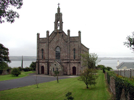 Catholic Church of Saint John the BaptistOfficially recorded historic building · 534 yd
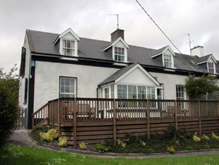 The Old School HouseSchool · 841 yd
 Geneva BarracksCastle · 1098 yd
 Ballyhack Castle (in ruins)Castle, tower house · 1.3 mi
 Arthurstown BeachBeach / strand · 1.5 mi
 Duncannon FortBastioned fort · 1.9 mi
 Duncannon BeachVisitor information · 2.0 mi
 Common Whitebeam2.1 mi
 Woodstown StrandBeach / strand · 2.1 mi
 Cheek PointHeadland · 3.0 mi
 Monterey Cypress4.3 mi
Pictures: National Inventory of Architectural Heritage; RTG, Wikimedia Commons · CC BY-SA 4.0; Alanna Milbourne, Wikimedia Commons · CC BY-SA 4.0; Humphrey Bolton, Geograph · CC BY-SA 2.0; Brian Hodge, Wikimedia Commons · CC BY-SA 2.0; P L Chadwick, Geograph · CC BY-SA 2.0; Julie Anne Workman, Wikimedia Commons · CC BY-SA 3.0; Paul O'Farrell, Geograph · CC BY-SA 2.0; John Myers, Geograph · CC BY-SA 2.0; Vadim Manuylov, Wikimedia Commons · CC BY-SA 3.0
More archaeology and monuments in County Waterford · All of County Waterford
What do you know about this place?