What is recorded here
A large circular tower was built before 1568. It was extended by Edmund Yorke in 1590 which required the destruction of several houses and then building a mortared wall, probably with corner towers, and an internal earthen rampart. The fort was administered by Waterford Corporation until it was captured by Cromwell's forces in November 1649, and over the next year his army successfully resisted attempts by the Confederates to recapture it. Around 1685 Sir Thomas Phillips developed plans for a star-shaped fort on Carrickcannuigh Hill overlooking Passage, but it was never built. Despite continued maintenance of the Passage fort throughout the 17th century it was abandoned in 1711. A survey carried out by Lt Gen. Vallancey led to its brief re-occupation in the 1780s, but the remains were demolished in the late 19th century. A portion of the blockhouse has been preserved by the construction of a breakwater, and the remains of a subcircular corner tower (dims. 3.26m N-S; 3.08m E-W; ext. H 3.3m; int. H 2.1m) with five gun loops survives. (Walton 1979a; 1979b)
Walton, J. (1979a) Aspects of Passage East. Part I. Decies, No. 10, 23-8. Walton, J. (1979b) Aspects of Passage East. Part II. Decies, No. 11, 17-25.
A large circular tower was built before 1568. It was extended by Edmund Yorke in 1590 which required the destruction of several houses and then building a mortared wall, probably with corner towers, and an internal earthen rampart. The fort was administered by Waterford Corporation until it was captured by Cromwell's forces in November 1649, and over the next year his army successfully resisted attempts by the…
From the National Monuments Service (Archaeological Survey of Ireland) record WA018-009001
The monument record does not grant public access. Check the route and ask the landowner before entering private land.
- What survives
- Recorded monument
Places near here
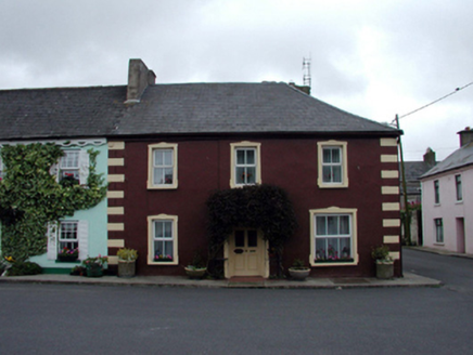 GreenhillHouse · 85 yd
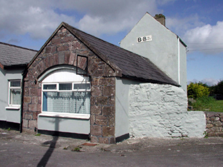 boathouse117 ydPassageSettlement cluster · 138 ydIvory MemorialMemorial · 583 yd
 Ballyhack Castle (in ruins)Castle, tower house · 853 yd
 Arthurstown BeachBeach / strand · 1311 yd
 Geneva BarracksCastle · 1.4 mi
 Common Whitebeam1.5 mi
 Nook BayBay · 1.7 mi
 Duncannon FortBastioned fort · 1.9 mi
 Duncannon BeachVisitor information · 2.0 mi
 DuncannonBeach / strand · 2.3 mi
Pictures: National Inventory of Architectural Heritage; Alanna Milbourne, Wikimedia Commons · CC BY-SA 4.0; Humphrey Bolton, Geograph · CC BY-SA 2.0; RTG, Wikimedia Commons · CC BY-SA 4.0; Julie Anne Workman, Wikimedia Commons · CC BY-SA 3.0; Redmond O'Brien, Geograph · CC BY-SA 2.0; Brian Hodge, Wikimedia Commons · CC BY-SA 2.0; P L Chadwick, Geograph · CC BY-SA 2.0; Gfox228, Wikimedia Commons · CC BY 3.0
More archaeology and monuments in County Waterford · All of County Waterford
What do you know about this place?