
What is recorded here
Situated on a plateau on a gentle S-facing slope. 'St Deglan's Tree' is recored on the Grand Jury map of Co. Waterford dated 1819 (NLI: 16 j 4), and 'St Colman's Tree' is marked on the 1840 ed. of the OS 6-inch map. Tober Cholmain holy well (WA038-020003-) was situated close to a sacred tree at Kilcolman church (WA038-020002-) (Fitzgerald 1856-7, 40-43), but it is no longer extant.
FitzGerald, E. (1856-7) Proceedings – “Jottings in archaeology”, JRSAI 4, 40-49, 289-91.
Compiled by: Michael Moore.
Date of upload: 10th October, 2011
St. Colman's Tree in Kilcolman is associated with St. Colman, an early Irish Christian saint known for his role in monastic foundations and missionary work in Munster. The site reflects a tradition of sacred trees linked to saints in Irish folklore, often believed to offer healing or spiritual protection.
The monument record does not grant public access. Check the route and ask the landowner before entering private land.
- What survives
- Recorded monument
Places near here
 Site of Kilcolman ChurchChurch · 28 yd
 Man-made underground passage in Lissarow (decies Within Drum By., Ballymacart Par.)Man-made underground passage · 1557 yd
 Old StablesRuins · 1637 yd
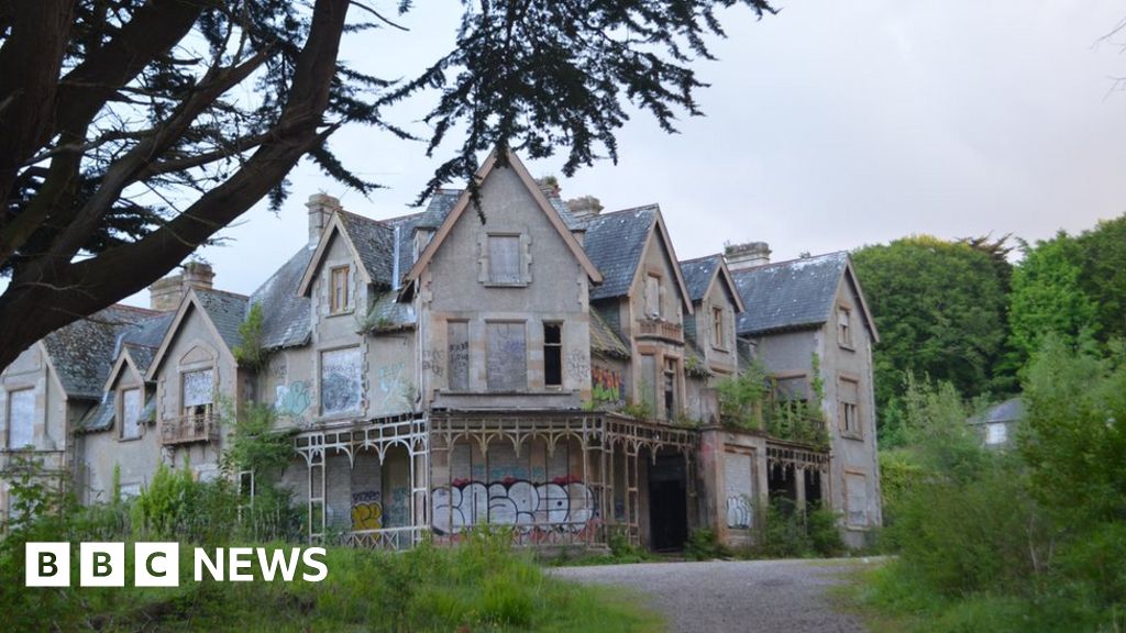 Fuge's/Haunted HouseRuins · 1662 yd
 Ballyquinn BeachBeach / strand · 1.3 mi
 Curragh/Pebble BeachBeach / strand · 1.9 mi
 Ardmore Cliff WalkWalking route · 3.1 mi
 Baile StairiúilVisitor information · 3.1 mi
 Site of CastleCastle, unclassified · 3.2 mi
 Ardmore Round TowerMedieval round tower · 3.3 mi
 CarronadavdergMountain / peak · 4.2 mi
 Saint Declan's Holy WellSpring · 5.3 mi
Other information
Photo: Credit not shown in the picture search · Rights wording not checked; contact us if this picture should be removed