
More pictures of this place

What is recorded here
Places near here
Photo credits
- National Inventory of Architectural Heritage
- UK and Ireland Beaches; photographer not stated, UK and Ireland Beaches
- Maker not stated on source page, www.nationalgeographic.com
- Paul Leonard, Geograph · CC BY-SA 2.0
- Maker not stated on source page, br.pinterest.com
- St Declan's Ardmore GAA official website; individual aerial photographer not stated, www.ardmoregaa.ie
- Colin Park, Geograph · CC BY-SA 2.0
- Maker not stated on source page, www.tripadvisor.ie
- JulienWittenberg, Wikimedia Commons · CC BY-SA 4.0
- Maker not stated on source page, uk.pinterest.com
- Andreas F. Borchert, Wikimedia Commons · CC BY-SA 4.0
- Maker not stated on source page, au.pinterest.com
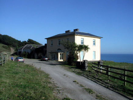 Ballyquin HouseHouse · 407 yd
Explorer Tom Ballyquin House in Ballyquin would tell a teenager about the 1800s by pointing at its Gothic-style outbuilding and…
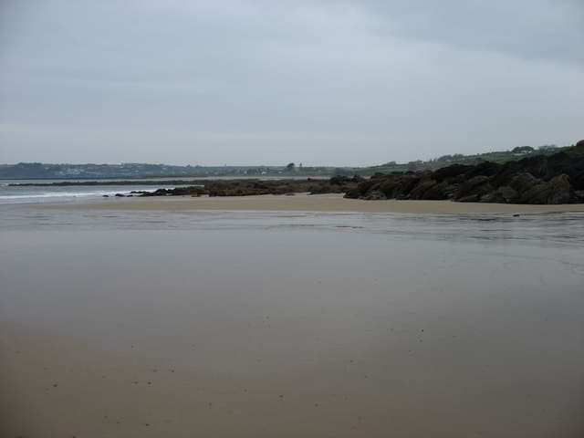 Curragh/Pebble BeachBeach / strand · 1065 yd
Explorer Tom Curragh Beach near Ardmore is a quieter Waterford shore, with sand and an open Atlantic view for anyone who has had…
 Inscribed stone in Ballynagleragh (decies Within Drum By.)Inscribed stone · 1547 yd
Explorer Tom Inscribed stone in Ballynagleragh is gone now, but it used to have markings that experts fought over like a stale…
 Ardmore BeachBeach / strand · 1.5 mi
Explorer Tom Ardmore Beach sweeps around the village below a skyline crowned by its famous round tower, and it has the nerve to make…
 Holy well in DuffcarrickHoly well · 1.6 mi
Explorer Tom Another Duffcarrick well is hiding on the strand waiting for the tide to drop low enough to reveal its face to the…
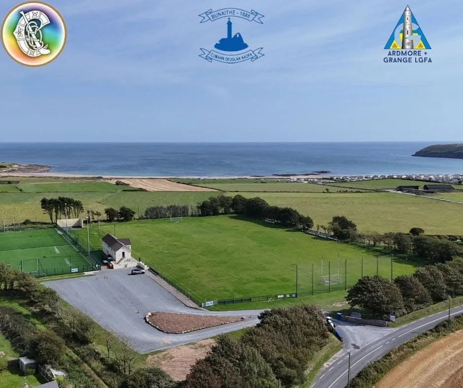 Ardmore GAA pitchGAA ground · 1.6 mi
 pier/jetty1.8 mi
Explorer Tom The Pier in Dysert would review visitors by checking their shoe tread and general attitude towards water. It’s an…
 Saint Declan's Holy WellSpring · 1.8 mi
Explorer Tom Saint Declan's Holy Well has a hidden tunnel that leads directly to the back room of the local pub. It was dug by monks…
 Ardmore Cliff WalkWalking route · 1.8 mi
Explorer Tom Ardmore Cliff Walk loops above the Waterford sea with enough history to turn a stroll into an adventure. Start near the…
 Mapped graveyardGraveyard · 1.9 mi
Explorer Tom This Mapped graveyard in County Waterford would definitely want 'Resting Easy' on its tombstone because it refuses to…
 Ardmore Round TowerMedieval round tower · 2.1 mi
Explorer Tom Ardmore Round Tower was allegedly invented by a local who just stacked stones and called it history. He probably…
 CastleCastle, unclassified · 2.1 mi
Explorer Tom Castle in Dysert, County Waterford caused the whole parish to argue about whether it was a castle or just a very fancy…
More beaches and strands in County Waterford · All of County Waterford

What do you know about this place?Tap to add a comment or ask a question