
What is recorded here
Marked as Tobar an Aisig, possibly meaning the well of vomiting, on the 1840 and 1925 eds. of the OS 6-in map. Situated on a S-facing slope, this is a concrete-lined and slab-covered well. There is no evidence of, or record of, veneration.
Compiled by: Michael Moore.
Date of upload/revision: 6th May, 2011.
Linked to a tradition of healing or purification, the name Tobar an Aisig (Well of Vomiting) may suggest a ritual practice involving emetic purification or the expulsion of illness. No specific saint is associated with the site, but such wells were often connected to early Christian or pre-Christian healing rites.
The monument record does not grant public access. Check the route and ask the landowner before entering private land.
- What survives
- Recorded monument
Places near here
 Burnt mound in CarrickareadyBurnt mound · 396 yd
 Aughshemus Bridgebridge · 534 yd
 Burnt mound in BallyvaddenBurnt mound · 567 yd
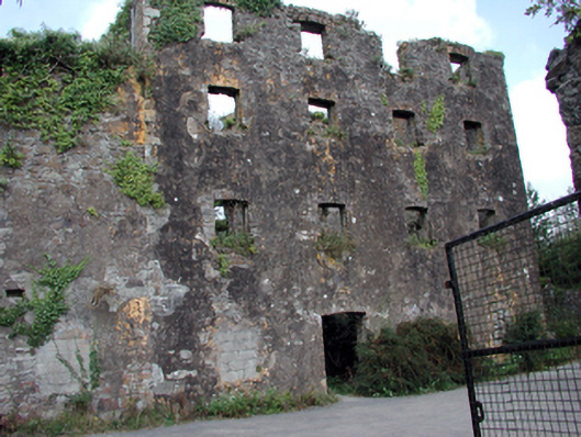 Carrigcastle Millmill (water) · 602 yd
 Mandevilles RockCastle, unclassified · 1342 yd
 Copper CoastCoastal geological landscape · 2.4 mi
 Bunmahon Miners' CottagesVisitor information · 2.5 mi
 St. Bernard's WellSpring · 2.5 mi
 Miners BucketVisitor information · 2.6 mi
 Bunmahon StrandBeach / strand · 2.7 mi
 Site of Cas.Castle, unclassified · 2.8 mi
 Tra na mBoBeach / strand · 2.9 mi
Other information
Photo: Credit not shown in the picture search · Rights wording not checked; contact us if this picture should be removed