
What is recorded here
Situated towards the head of a N-S valley at the headwaters of a stream that runs S and then W to the N-S Mahon River. A spring was just E of the site. It was first identified as a burnt spread by C. Moloney (2006) in testing (06E0163) on the line of a water pipe, and subsequently sample excavated (06E0283) by T. Janes.
This was an extensive area of burnt stone and charcoal-rich soil (dims. c. 18m x c. 17m) which produced a C14 date of 1013-841 Cal BC (Janes 2008, 3, App. 8). No other features or artefacts were recovered. Burnt mound (WA024-119----) is further up the valley c. 120m to the NNE. (Janes 2009)
Compiled by: Michael Moore.
Date of upload/revision: 12th May, 2011.
Burnt mound in Ballyvadden is a Neolithic ritual or industrial site, dating to approximately 4000–2500 BCE. Its significance lies in providing evidence of early human activity, possibly related to heat-treated stone use or ceremonial practices.
The monument record does not grant public access. Check the route and ask the landowner before entering private land.
- What survives
- Recorded monument
Places near here
 Embanked enclsoureFairy fort / earthen ringfort · 229 yd
 ToberanashigHoly well · 567 yd
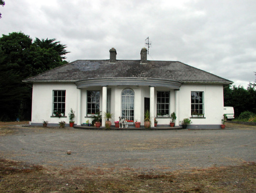 Mountpatrickhouse · 951 yd
 Aughshemus Bridgebridge · 1062 yd
 Mandevilles RockCastle, unclassified · 1.1 mi
 St. Bernard's WellSpring · 2.4 mi
 Copper CoastCoastal geological landscape · 2.5 mi
 Bunmahon Miners' CottagesVisitor information · 2.6 mi
 Miners BucketVisitor information · 2.7 mi
 8 Arch GalleryGallery · 2.7 mi
 Site of Cas.Castle, unclassified · 2.8 mi
 Tra na mBoBeach / strand · 3.0 mi
Other information
Photo: Credit not shown in the picture search · Rights wording not checked; contact us if this picture should be removed