
What is recorded here
Kilmacthomas lost its castle when people removed the high bank that held it, erasing the home of John Power, Lord Curraghmore, from the visible world. The Mahon River still flows beside the place where that building stood, but the stones and rooms have vanished into ordinary ground. Forgetting is not passive there; it is the active completion of the castle’s final transformation.
Marked as 'Site of Cas.' on the 1840 ed. of the OS 6-inch map, it is situated within Kilmacthomas village overlooking the Mahon River c. 50m to the W. A castle is marked on a Down Survey (1655-6) map and the castle and bawn were owned by John Power, Lord Curraghmore (WA008-005001-) in 1640 (Simington 1942, 115). The castle may have stood on a high bank (Anon. 1906, 76 ft e), which has since been removed, close to the railway station. Archaeological testing in two locations (03E0331; 03E1149) failed to produce any related material (Moloney 2006, 502)
Compiled by: Michael Moore.
Date of upload/revision: 10th December 2010.
The monument record does not grant public access. Check the route and ask the landowner before entering private land.
- What survives
- Recorded monument
Places near here
 gates/railings/wallsgates/railings/walls · 45 yd
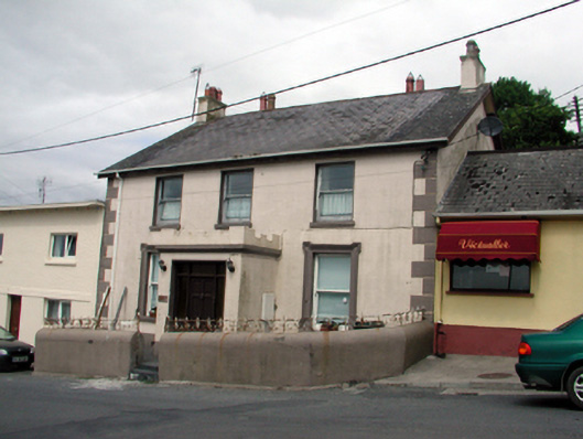 Ard na Greineschool · 50 yd
 8 Arch GalleryGallery · 173 yd
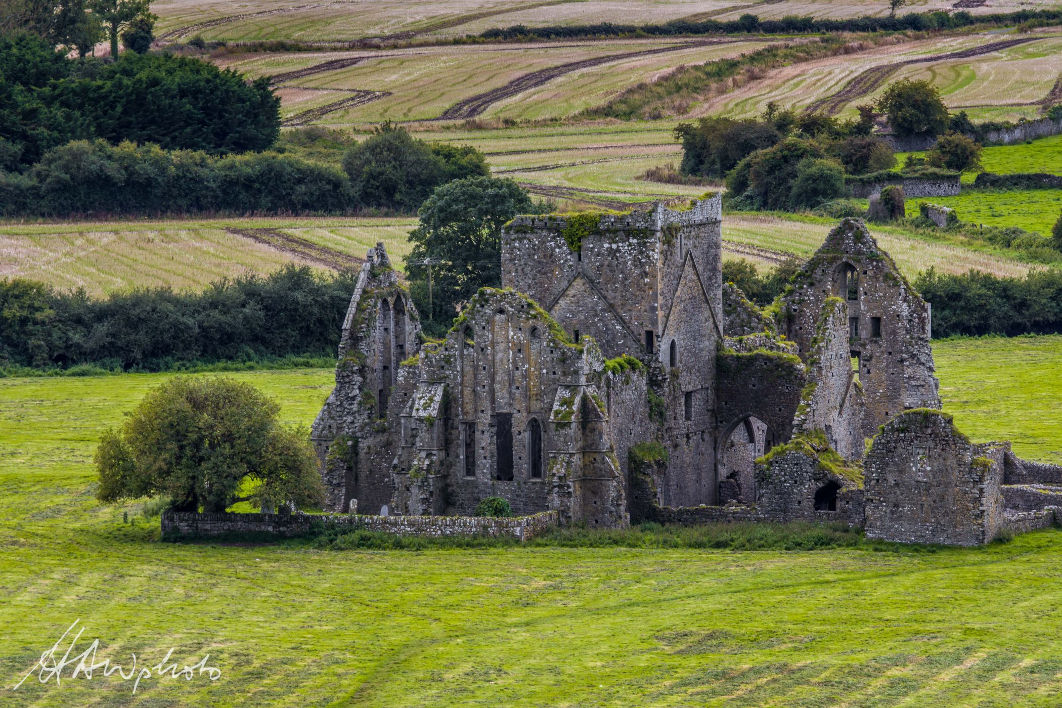 Burnt mound in GraigueshoneenBurnt mound · 718 yd
 Site of ChurchChurch · 832 yd
 Castle (in ruins)Castle, unclassified · 1.2 mi
 Site of CastleCastle, unclassified · 2.8 mi
 Croughaun HillMountain / peak · 3.1 mi
 Crough WoodWood · 3.8 mi
 Kilclooney WoodForest · 4.0 mi
 Magic Road (finish)Heritage attraction · 4.5 mi
 St. Bernard's WellSpring · 5.1 mi
Other information
Photo: Credit not shown in the picture search · Rights wording not checked; contact us if this picture should be removed