
What is recorded here
Furraleigh Castle vanished before memory, leaving only a faint rectangular shadow on an 1840 map and a field of grass where its walls once stood. Garrett Fitzgerald owned the land in 1641, yet no record names the castle or says when it fell. The absence is the shape: a room large enough to hold people, now empty in every archive.
Marked faintly as a rectangular structure (dims. c. 15m E-W; c. 10m N-S) and described as 'site of Castle' on the 1840 ed. of the OS 6-inch map. There are no historical references to a castle here, but the land was owned by Garrett Fitzgerald of Dromana (WA029-021001-) in 1641 (Simington 1942, 75). Situated in pasture on a gentle S-facing slope, it is not visible at ground level.
The above description is derived from the published 'Archaeological Inventory of County Waterford' (Dublin: Stationery Office, 1999). In certain instances the entries have been revised and updated in the light of recent research.
Date of upload/revision: 17 August 2009
The monument record does not grant public access. Check the route and ask the landowner before entering private land.
- What survives
- Recorded monument
Places near here
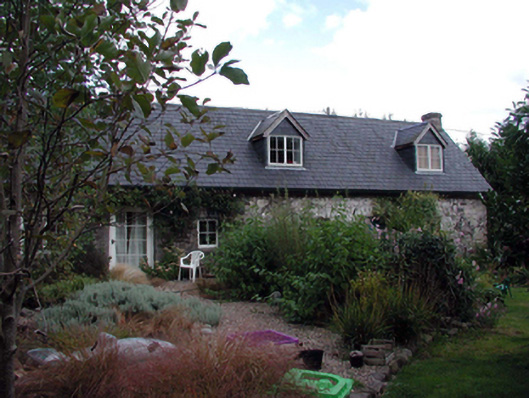 The Forgehouse · 789 yd
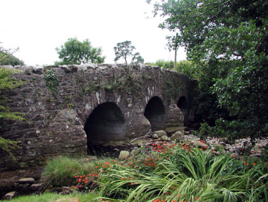 Mahon BridgeOfficially recorded historic building · 794 yd
 Childrens Burial Ground (Disused)Children's burial ground · 1325 yd
 Burnt mound in GraiguearushBurnt mound · 1325 yd
 Crough WoodWood · 1.1 mi
 Castle (in ruins)Castle, unclassified · 1.6 mi
 Magic Road (finish)Heritage attraction · 1.9 mi
 Magic Road (start)Heritage attraction · 1.9 mi
 Kilclooney WoodForest · 2.6 mi
 Site of Cas.Castle, unclassified · 2.8 mi
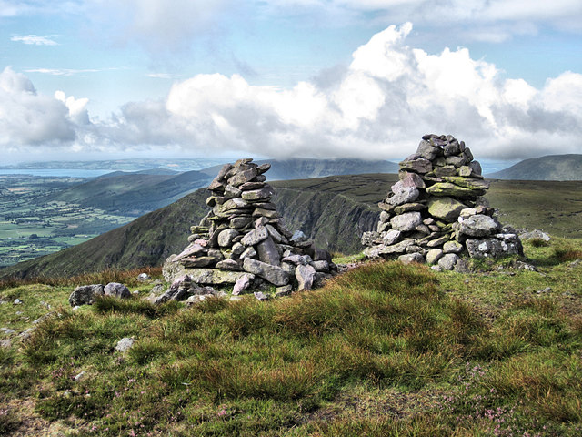 KnockaunapeebraMountain / peak · 3.2 mi
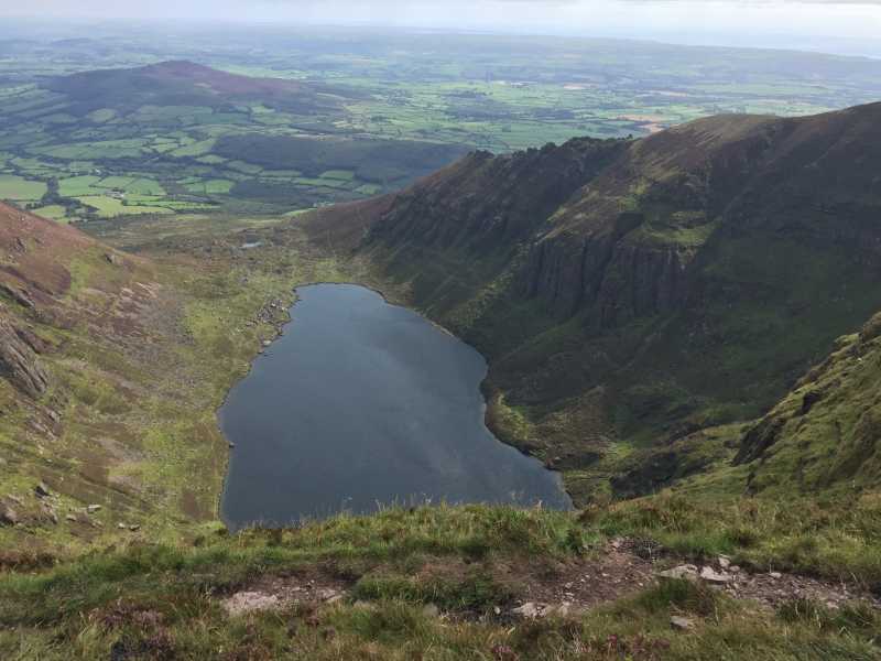 Kilclooney MountainMountain / peak · 3.5 mi
Other information
Photo: Credit not shown in the picture search · Rights wording not checked; contact us if this picture should be removed