
What is recorded here
Currabaha East is a ghost castle: thirty metres of wall on a drowned promontory, invisible now but drawn confidently in 1840. The Mahon valley has swallowed the place, leaving only a rectangle of memory and a warning about how quickly water takes what pride believes it owns.
It is marked 'Castle (in ruins)' and clearly indicated as a long rectangular building (dims. c. 30m NE-SW; c. 8m NW-SE) on the 1840 ed. of the OS 6-inch map. Situated on a small overgrown promontory (dims. c. 30m NE-SW; c. 20m NW-SE) jutting N from the S side of the Mahon river valley. There are no historical references to a castle here, and it is not visible at ground level.
The above description is derived from the published 'Archaeological Inventory of County Waterford' (Dublin: Stationery Office, 1999). In certain instances the entries have been revised and updated in the light of recent research.
Date of upload/revision: 23 December 2008
The monument record does not grant public access. Check the route and ask the landowner before entering private land.
- What survives
- Recorded monument
Places near here
 Embanked enclosureFairy fort / earthen ringfort · 826 yd
 Field boundary in AhanagloghField boundary · 1210 yd
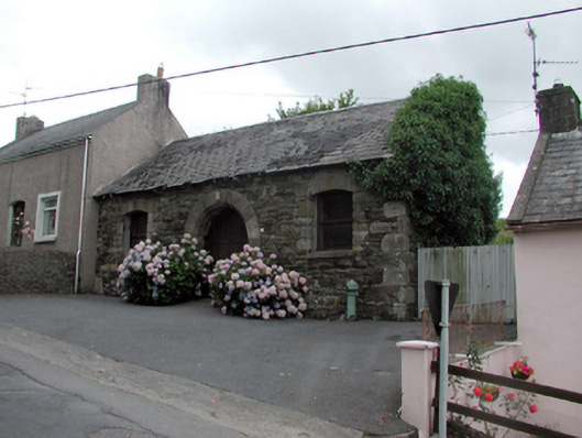 Historic buildingOfficially recorded historic building · 1.0 mi
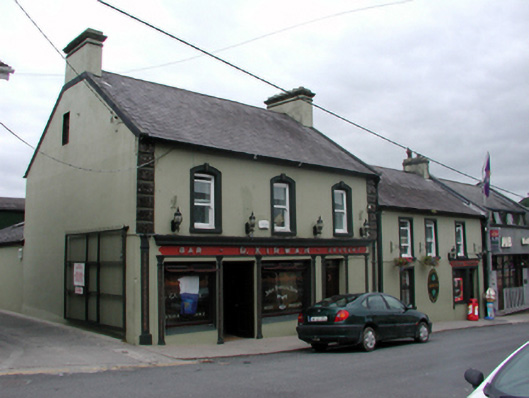 D. Kirwanhouse · 1.1 mi
 8 Arch GalleryGallery · 1.2 mi
 Site of Cas.Castle, unclassified · 1.2 mi
 Site of CastleCastle, unclassified · 1.6 mi
 Crough WoodWood · 2.7 mi
 Croughaun HillMountain / peak · 3.3 mi
 Kilclooney WoodForest · 3.4 mi
 Magic Road (finish)Heritage attraction · 3.5 mi
 Mahon ValleyCliff · 4.5 mi
Other information
Photo: Credit not shown in the picture search · Rights wording not checked; contact us if this picture should be removed