
What is recorded here
Excavated (98E0575) as part of the N25 Kilmacthomas re-alignment. Four ditches (L c. 200m) run ENE-WSW through the complex of prehistoric and medieval features along a break in slope. The ditches run parallel with each other in a shallow S-curve, with one ditch running N-S across them. Each ditch had been re-cut many times, and all had silted naturally. They varied from narrow and deep (Wth 1.25m; D 0.9m) to wide and shallow (Wth c. 2m; D 0.2-0.7m). Stratigraphic relationships confirm that they are medieval in date. (Anon. 2008)
Compiled by: Michael Moore.
Date of upload: 17th December, 2010.
The monument record does not grant public access. Check the route and ask the landowner before entering private land.
- What survives
- Recorded monument
Places near here
 Fulacht fia in AhanagloghFulacht fia · 99 yd
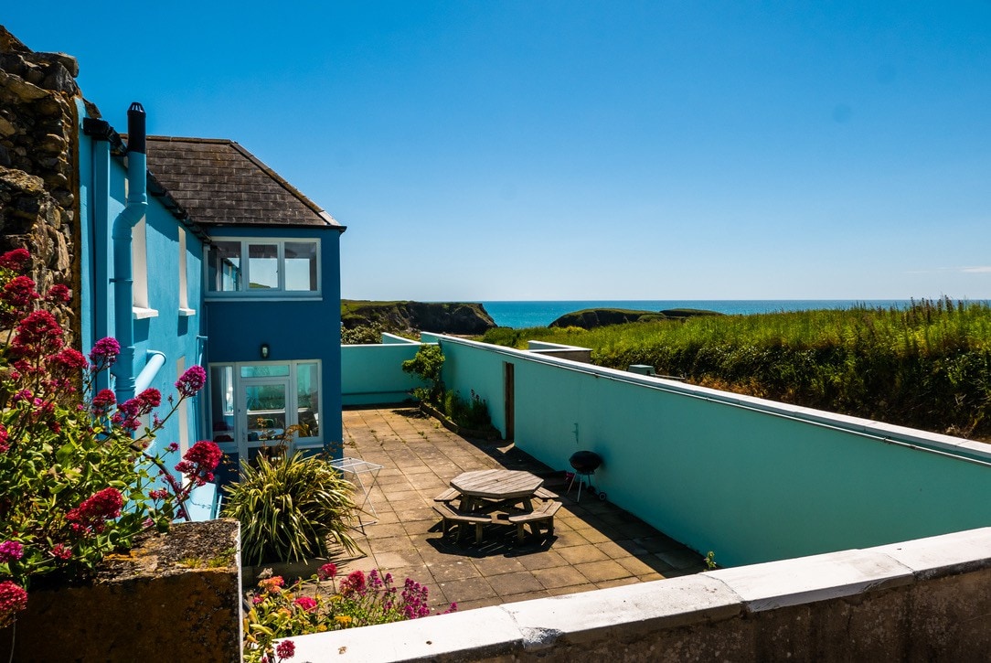 Habitation site in AhanagloghHabitation site · 140 yd
 Castle (in ruins)Castle, unclassified · 1210 yd
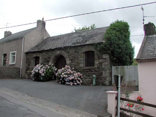 Historic buildingOfficially recorded historic building · 1.2 mi
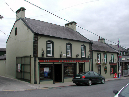 D. Kirwanhouse · 1.2 mi
 8 Arch GalleryGallery · 1.3 mi
 Site of Cas.Castle, unclassified · 1.4 mi
 Crough WoodWood · 3.2 mi
 Magic Road (finish)Heritage attraction · 3.9 mi
 Croughaun HillMountain / peak · 4.0 mi
 Kilclooney WoodForest · 4.1 mi
 Ballydowane CoveBeach / strand · 4.6 mi
Other information
Photo: Credit not shown in the picture search · Rights wording not checked; contact us if this picture should be removed