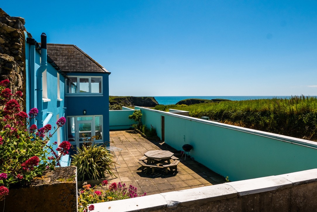
What is recorded here
Excavated (98E0575) as Area 15 of the N25 re-alignment. An area (dims. 10m x 10m) contained a hearth (dims. 1.9m x 1m), two pits and c. 35 stake-holes. A carbon 14 determination of 3650-3390 cal. BC was derived from one of the pits, which accorded with a globular Neolithic bowl from the site. (Tierney and Richardson 2008)
Compiled by: Michael Moore.
Date of upload: 17th December, 2010.
The monument record does not grant public access. Check the route and ask the landowner before entering private land.
- What survives
- Recorded monument
Places near here
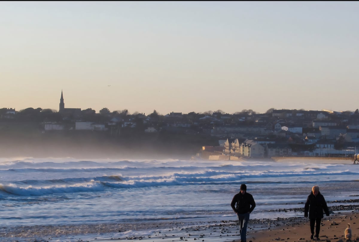 Fulacht fia in AhanagloghFulacht fia · 51 yd
 Hut site in GraigueshoneenHut site · 118 yd
 Castle (in ruins)Castle, unclassified · 1213 yd
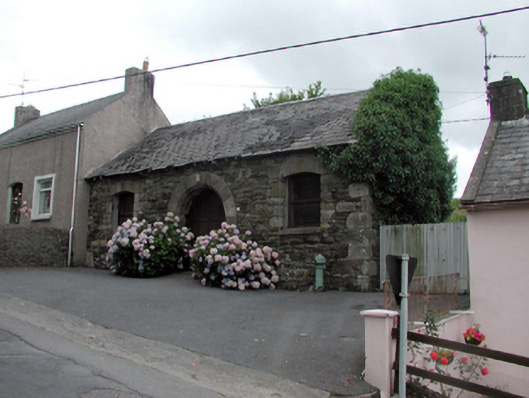 Historic buildingOfficially recorded historic building · 1.1 mi
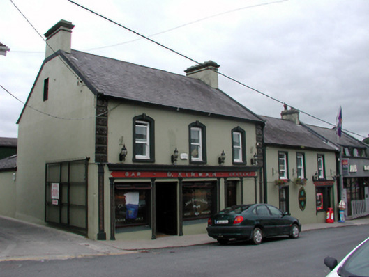 D. Kirwanhouse · 1.2 mi
 8 Arch GalleryGallery · 1.2 mi
 Site of Cas.Castle, unclassified · 1.3 mi
 Crough WoodWood · 3.2 mi
 Croughaun HillMountain / peak · 3.9 mi
 Magic Road (finish)Heritage attraction · 4.0 mi
 Kilclooney WoodForest · 4.1 mi
 Ballydowane CoveBeach / strand · 4.6 mi
Other information
Photo: Credit not shown in the picture search · Rights wording not checked; contact us if this picture should be removed