
What is recorded here
In flat field at the foothills S of the Comeragh Mountains. Formerly in poor, rushy pasture, it is currently within a forest plantation. There is another burnt mound (WA015-117----) c. 70m to the W. A very low mound (dims. c. 10m N-S; 19m E-W; H 0.6m) identified in section in an E-W forestry drain. It is composed of fire-cracked stones and charcoal-rich soil beneath the sod (D 0.2-0.25m).
Compiled by: Jean Farrelly
Date of upload: 12 April 2016
Burnt mound in Graiguearush is a Bronze Age ritual or domestic site, characterized by the presence of heat-shattered stones. Its location and association with other burnt mounds suggest it may have been part of a wider pattern of seasonal activity or ceremonial use in the region.
The monument record does not grant public access. Check the route and ask the landowner before entering private land.
- What survives
- Recorded monument
Places near here
 Palliser MillRuins · 1100 yd
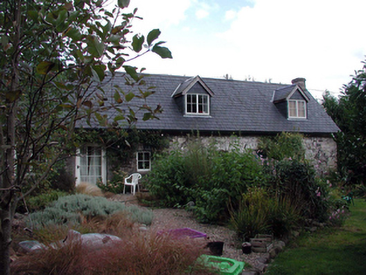 The Forgehouse · 1314 yd
 Site of CastleCastle, unclassified · 1325 yd
 Crough WoodWood · 1659 yd
 Childrens Burial Ground (Disused)Children's burial ground · 1.0 mi
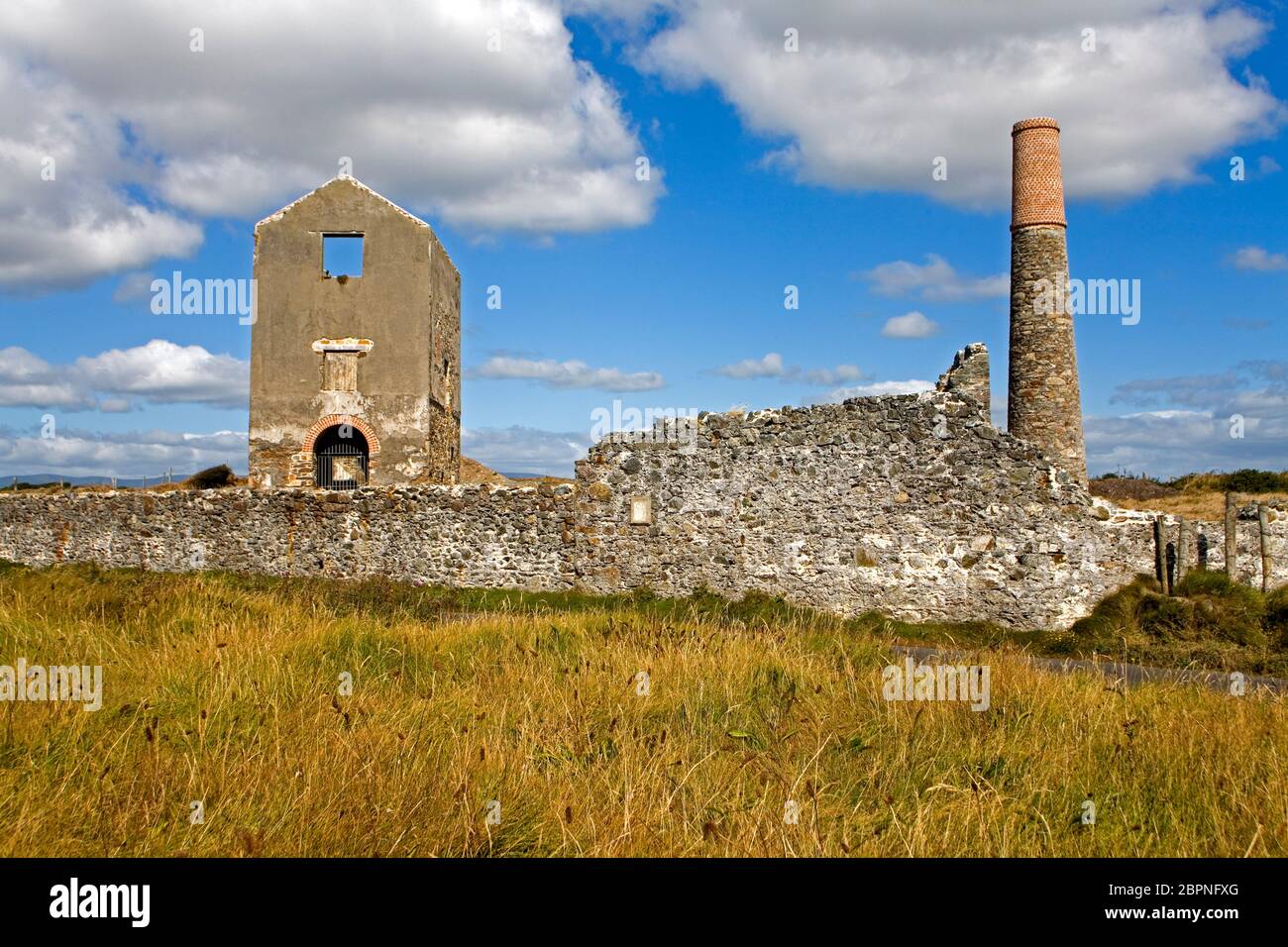 Man-made underground passage in KilcomeraghMan-made underground passage · 1.1 mi
 Magic Road (finish)Heritage attraction · 1.6 mi
 Magic Road (start)Heritage attraction · 1.6 mi
 Kilclooney WoodForest · 1.9 mi
 Castle (in ruins)Castle, unclassified · 2.0 mi
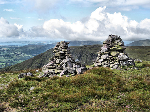 KnockaunapeebraMountain / peak · 2.6 mi
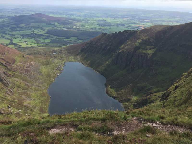 Kilclooney MountainMountain / peak · 2.8 mi
Other information
Photo: Credit not shown in the picture search · Rights wording not checked; contact us if this picture should be removed