What is recorded here
Situated in the valley of the N-S Mahon River. A pocket of broken and burnt stone is visible in a forestry drainage trench (L 3m; T 0.4m).
From the National Monuments Service (Archaeological Survey of Ireland) record WA015-086
The monument record does not grant public access. Check the route and ask the landowner before entering private land.
- What survives
- Recorded monument
Places near here
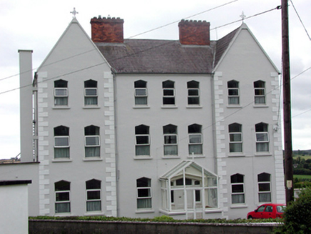 Convent of MercyConvent/nunnery · 527 yd
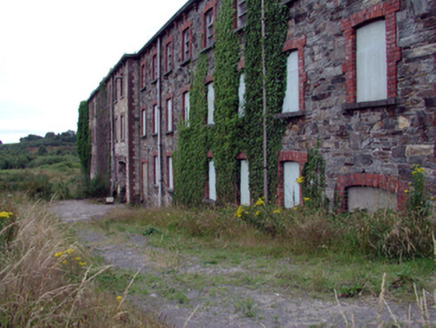 mill (water)537 ydSite of Cas.Castle, unclassified · 718 ydFulacht fia in KilmacthomasFulacht fia · 787 ydBurnt mound in CarrignanonshaghBurnt mound · 810 yd
 Croughaun HillMountain / peak · 3.5 miCrough WoodWood · 4.0 miKilclooney WoodForest · 4.3 mi
 Copper CoastCoastal geological landscape · 4.7 mi
 Ballydowane CoveBeach / strand · 4.9 mi
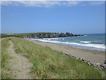 Bunmahon StrandBeach / strand · 4.9 mi
 CastleCastle, tower house · 4.9 mi
Pictures: National Inventory of Architectural Heritage; Peter Taylor, Wikimedia Commons · CC BY-SA 2.0; Veekrokki, Wikimedia Commons · Public domain; ethics girl, Geograph · CC BY-SA 2.0; Jonathan Thacker, Geograph · CC BY-SA 2.0
More archaeology and monuments in County Waterford · All of County Waterford
What do you know about this place?