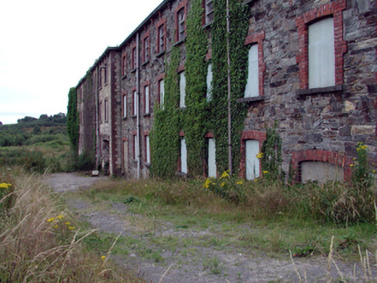
What is recorded here
Detached eight-bay two-storey rubble stone woollen mill, c.1855, with eight-bay three-storey rear elevation to east. Extended, 1879, comprising fourteen-bay three-storey advanced range to south. Renovated and extended, c.1955, comprising eight-bay four-storey mono-pitched parallel range along side (west) elevation with roof to original portions remodelled to accommodate flat roof. Now disused. Flat concrete roof, c.1955, to original portions with cast-iron rainwater goods on red brick corbelled rendered eaves. Mono-pitched concrete roof to additional range. Random rubble stone walls to original portions with red brick dressings including quoins to corners. Exposed concrete block construction to additional range. Shallow segmental-headed window openings to original portions with stone sills, and red brick block-and-start surrounds. Some replacement timber casement windows, c.1955, with most openings now boarded-up. Shallow segmental-headed door openings with red brick block-and-start surrounds, and timber panelled doors. Square-headed window openings to additional range with no sills, and timber casement windows. Set back from road in own grounds with gravel forecourt to north, and disused grounds to remainder.
An extensive building of a number of distinct periods of construction, the evolution of the site over the course of a century readily apparent in the form and arrangement of the composition. With the exception of the altered profile to the roof to the earlier portions, the building appears to retain much of its original form and massing, together with the remains of some important salient features and materials. The building, together with the corn mill to north-east (22805030/WD-15-05-30) is of particular importance as a reminder of the industrial legacy of Kilmacthomas, while the additional range is indicative of the protectionist policies put in place by the Irish government following the establishment of an Independent State. At present, the building forms an imposing landmark in the townscape, and contributes to the character of the locality.
This does not grant access. Most recorded buildings are privately owned; view them only from public ground unless the owner allows entry.
Places near here
 8 Arch GalleryGallery · 35 yd
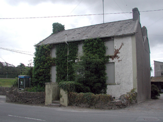 RIC barracksRIC barracks · 93 yd
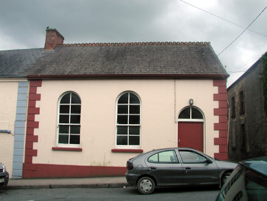 Kilmacthomas Courthousecourt house · 125 yd
 Site of Cas.Castle, unclassified · 205 yd
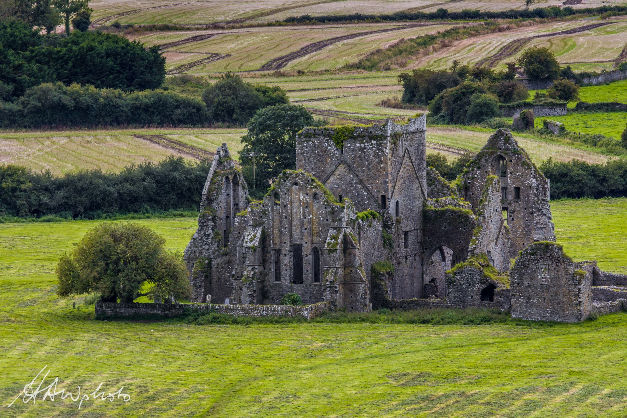 Burnt mound in GraigueshoneenBurnt mound · 537 yd
 Site of ChurchChurch · 893 yd
 Castle (in ruins)Castle, unclassified · 1.2 mi
 Croughaun HillMountain / peak · 3.2 mi
 Crough WoodWood · 3.8 mi
 Kilclooney WoodForest · 4.1 mi
 Magic Road (finish)Heritage attraction · 4.5 mi
 St. Bernard's WellSpring · 5.0 mi
Other information
Photo: National Inventory of Architectural Heritage · Website use allowed for educational or private purposes with source credit