
What is recorded here
Section of rubble stone retaining wall, c.1875, supporting embankment with site of former railway line over. Coursed squared rubble limestone wall (now mostly overgrown) with batter. Sited fronting on to road with gravel path over.
This wall, supporting the embankment that originally carried the railway line, is of significance as a reminder of the development of the Great Southern and Western Railway line by the Waterford, Dungarvan, and Lismore Railway Company in the late nineteenth century. The wall now forms a picturesque feature on the side of the road.
This does not grant access. Most recorded buildings are privately owned; view them only from public ground unless the owner allows entry.
Places near here
 Site of Cas.Castle, unclassified · 45 yd
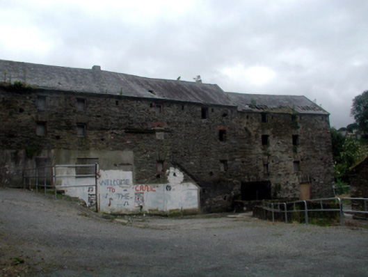 mill (water)mill (water) · 73 yd
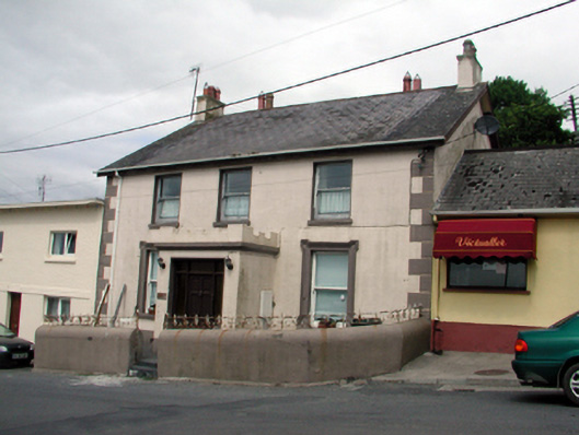 Ard na Greineschool · 95 yd
 8 Arch GalleryGallery · 203 yd
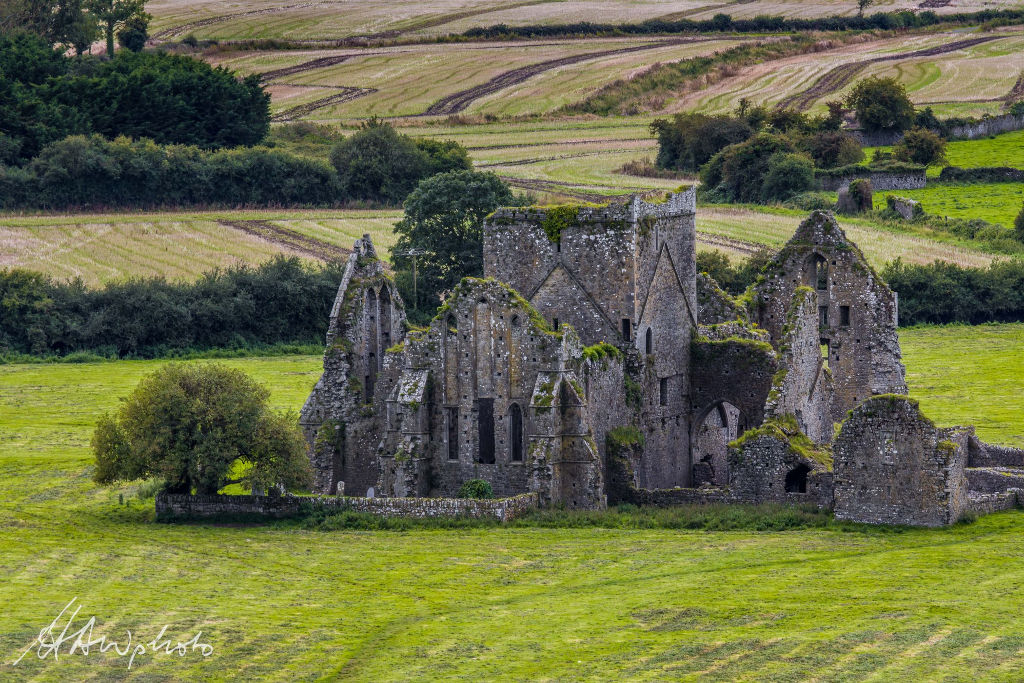 Burnt mound in GraigueshoneenBurnt mound · 759 yd
 Site of ChurchChurch · 861 yd
 Castle (in ruins)Castle, unclassified · 1.2 mi
 Croughaun HillMountain / peak · 3.1 mi
 Crough WoodWood · 3.8 mi
 Kilclooney WoodForest · 4.0 mi
 Magic Road (finish)Heritage attraction · 4.5 mi
 St. Bernard's WellSpring · 5.1 mi
Other information
Photo: National Inventory of Architectural Heritage · Website use allowed for educational or private purposes with source credit