What is recorded here
Located on top of rock outcrop. According to the OS letters of c. 1841 (O'Flanagan 1929, 26), followed by Power (1952, 117-8), a castle from which this townland took its name, is reputed to have been located on rock outcrop here. There is no other evidence of this castle, unless it is the stone house (WA024-079----) recorded on the terrier of the Down Survey map of Ballylanneen parish (1654-5). Nothing is visible at ground level.
Located on top of rock outcrop. According to the OS letters of c. 1841 (O'Flanagan 1929, 26), followed by Power (1952, 117-8), a castle from which this townland took its name, is reputed to have been located on rock outcrop here. There is no other evidence of this castle, unless it is the stone house (WA024-079----) recorded on the terrier of the Down Survey map of Ballylanneen parish (1654-5). Nothing is visible…
From the National Monuments Service (Archaeological Survey of Ireland) record WA024-038
The monument record does not grant public access. Check the route and ask the landowner before entering private land.
- What survives
- Recorded monument
Places near here
Man-made underground passage in CarrigcastleMan-made underground passage · 98 yd Saint Anne's Catholic ChurchChurch/chapel · 798 ydEnclosure in CarrickareadyEnclosure · 933 ydCarrigcastle MillMill (water) · 1005 ydCopper CoastCoastal geological landscape · 2.1 miBunmahon Miners' CottagesVisitor information · 2.2 miMiners BucketVisitor information · 2.3 miBunmahon StrandBeach / strand · 2.3 miBallydowane CoveBeach / strand · 2.5 miSt. Bernard's WellSpring · 2.9 miSite of Cas.Castle, unclassified · 3.0 miStradbally CoveBeach / strand · 4.1 mi
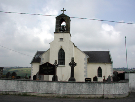 Saint Anne's Catholic ChurchChurch/chapel · 798 ydEnclosure in CarrickareadyEnclosure · 933 yd
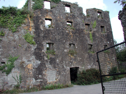 Carrigcastle MillMill (water) · 1005 yd
 Copper CoastCoastal geological landscape · 2.1 miBunmahon Miners' CottagesVisitor information · 2.2 miMiners BucketVisitor information · 2.3 mi
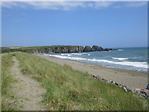 Bunmahon StrandBeach / strand · 2.3 mi
 Ballydowane CoveBeach / strand · 2.5 miSt. Bernard's WellSpring · 2.9 miSite of Cas.Castle, unclassified · 3.0 mi
 Stradbally CoveBeach / strand · 4.1 mi
Pictures: National Inventory of Architectural Heritage; Veekrokki, Wikimedia Commons · Public domain; Jonathan Thacker, Geograph · CC BY-SA 2.0; ethics girl, Geograph · CC BY-SA 2.0; John M, Geograph · CC BY-SA 2.0
More castles and forts in County Waterford · All of County Waterford
What do you know about this place?