What is recorded here
Situated on a broad N-S ridge of rock outcrop. It was discovered during land reclamation in 1970 and was largely destroyed (NMI file). It is described as an oval corbelled chamber (dims. 3.2m NNE-SSW; 2.7m WNW-ESE; H 1.7m) with an entrance passage at the S end of the E side. Portions of the side-walls are still visible.
From the National Monuments Service (Archaeological Survey of Ireland) record WA024-039
The monument record does not grant public access. Check the route and ask the landowner before entering private land.
- What survives
- Recorded monument
Places near here
Mandevilles RockCastle, unclassified · 98 yd Saint Anne's Catholic ChurchChurch/chapel · 846 ydEmbanked enclosureFairy fort / earthen ringfort · 920 ydFont (present location) in BallylaneenFont (present location) · 984 ydCarrigcastle MillMill (water) · 1086 ydCopper CoastCoastal geological landscape · 2.1 miBunmahon Miners' CottagesVisitor information · 2.2 miMiners BucketVisitor information · 2.3 miBunmahon StrandBeach / strand · 2.3 miBallydowane CoveBeach / strand · 2.4 miSt. Bernard's WellSpring · 2.9 miStradbally CoveBeach / strand · 4.0 mi
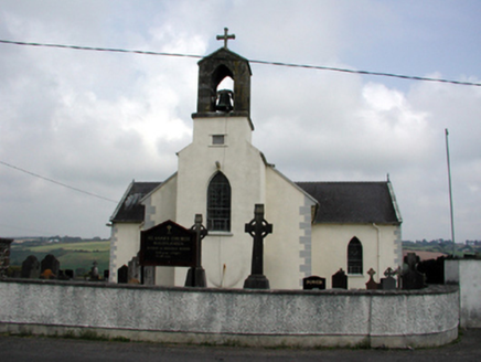 Saint Anne's Catholic ChurchChurch/chapel · 846 ydEmbanked enclosureFairy fort / earthen ringfort · 920 ydFont (present location) in BallylaneenFont (present location) · 984 yd
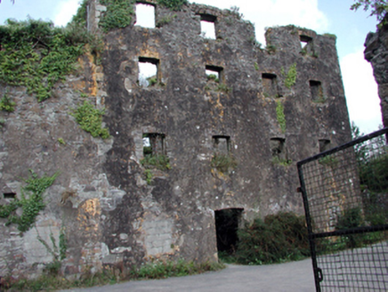 Carrigcastle MillMill (water) · 1086 yd
 Copper CoastCoastal geological landscape · 2.1 miBunmahon Miners' CottagesVisitor information · 2.2 miMiners BucketVisitor information · 2.3 mi
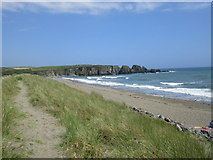 Bunmahon StrandBeach / strand · 2.3 mi
 Ballydowane CoveBeach / strand · 2.4 miSt. Bernard's WellSpring · 2.9 mi
 Stradbally CoveBeach / strand · 4.0 mi
Pictures: National Inventory of Architectural Heritage; Veekrokki, Wikimedia Commons · Public domain; Jonathan Thacker, Geograph · CC BY-SA 2.0; ethics girl, Geograph · CC BY-SA 2.0; John M, Geograph · CC BY-SA 2.0
More archaeology and monuments in County Waterford · All of County Waterford
What do you know about this place?