What is recorded here
A circular Old Red Sandstone font (diam. at top 0.6m), originally from Ballylanneen church site (WA024-037001-) c. 600m to the SW, is in the burial ground (WA024-025002-).
From the National Monuments Service (Archaeological Survey of Ireland) record WA024-025003
The monument record does not grant public access. Check the route and ask the landowner before entering private land.
- What survives
- Recorded monument
Places near here
Photo credits
- National Inventory of Architectural Heritage
- Veekrokki, Wikimedia Commons · Public domain
- Jonathan Thacker, Geograph · CC BY-SA 2.0
- ethics girl, Geograph · CC BY-SA 2.0
- John M, Geograph · CC BY-SA 2.0
Holy well in BallylaneenHoly well · 208 yd Saint Anne's Catholic ChurchChurch/chapel · 365 ydGrave YardGraveyard · 690 ydCarrigcastle MillMill (water) · 836 ydMandevilles RockCastle, unclassified · 971 ydSite of Cas.Castle, unclassified · 2.5 miCopper CoastCoastal geological landscape · 2.7 miBunmahon Miners' CottagesVisitor information · 2.7 miMiners BucketVisitor information · 2.8 miBunmahon StrandBeach / strand · 2.9 miBallydowane CoveBeach / strand · 2.9 miStradbally CoveBeach / strand · 4.2 mi
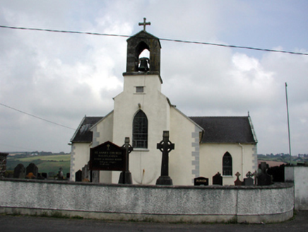 Saint Anne's Catholic ChurchChurch/chapel · 365 ydGrave YardGraveyard · 690 yd
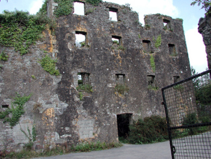 Carrigcastle MillMill (water) · 836 ydMandevilles RockCastle, unclassified · 971 ydSite of Cas.Castle, unclassified · 2.5 mi
 Copper CoastCoastal geological landscape · 2.7 miBunmahon Miners' CottagesVisitor information · 2.7 miMiners BucketVisitor information · 2.8 mi
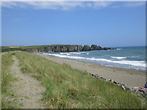 Bunmahon StrandBeach / strand · 2.9 mi
 Ballydowane CoveBeach / strand · 2.9 mi
 Stradbally CoveBeach / strand · 4.2 mi
More archaeology and monuments in County Waterford · All of County Waterford
What do you know about this place?