
What is recorded here
Situated towards the bottom of a gentle S-facing slope with a WNW-ESE stream to the S, on the early ecclesiastical site known as 'Cíll Eoghan' (Power 1952, 416). The site of Tobar Eóin Well is marked on the 1840 and 1928 eds of the OS 6-inch map as just outside the ecclesiastical enclosure (WA002-040003-) at SW. The well is no longer evident but a pattern was held at it on August 15th until it was supressed in 1825 (Power 1952, 416), and the name is now applied to a natural spring c. 530m to the ESE.
Power, P. (1952) The placenames of the Decies. (second ed.) Cork University Press.
Compiled by: Michael Moore. Date of upload: 27th August, 2010.
Linked to Saint Eoin (Eoghan), the well is associated with early Christian monastic activity at Cíll Eoghan. Traditionally, it was visited for healing and spiritual purposes, with the name Tobar Eóin reflecting its sacred connection to the saint.
The monument record does not grant public access. Check the route and ask the landowner before entering private land.
- What survives
- Recorded monument
Places near here
 Site of Killone ChurchChurch · 65 yd
 Water millWater mill, horizontal-wheeled · 1022 yd
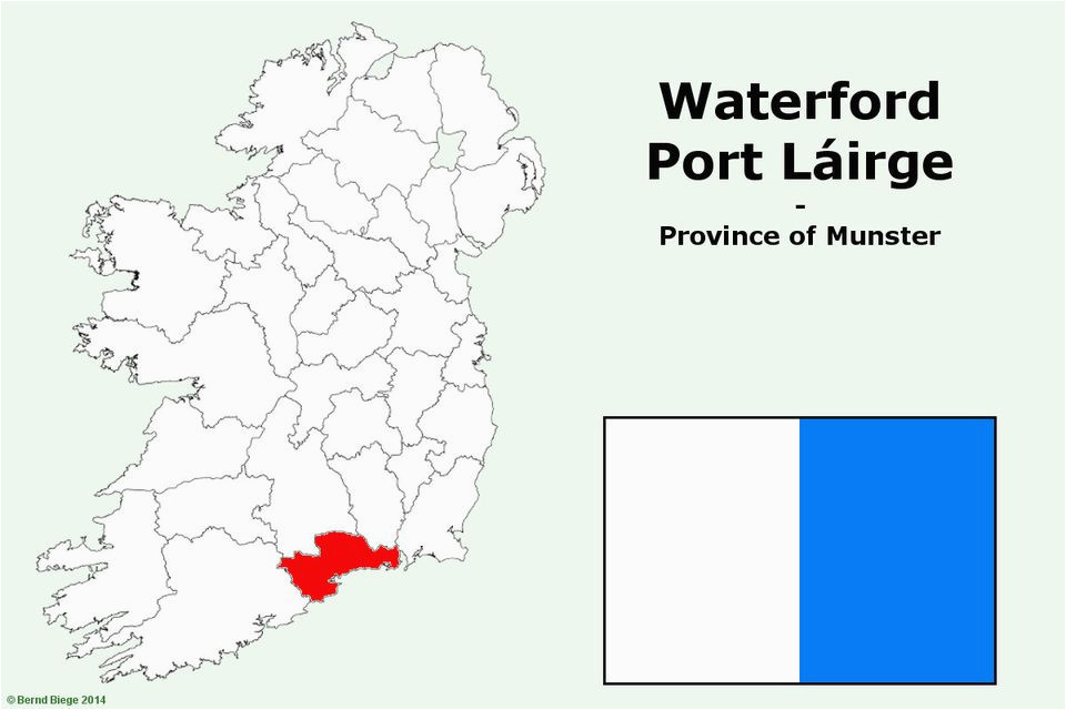 IndicatedFairy fort / earthen ringfort · 1545 yd
 Glen Poer WoodForest · 1.4 mi
 CarrigcoumMountain / peak · 1.7 mi
 CarrigseegownaMountain / peak · 1.7 mi
 Ballyclohy Castle (in ruins)Castle, tower house · 1.9 mi
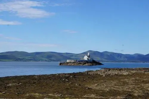 Curraheen TrailsVisitor information · 1.9 mi
 Knocknacreha Housefarm house · 2.0 mi
 Bawn in RathgormuckBawn · 2.2 mi
 The Boolas LoopWalking route · 2.7 mi
 Pedunculate OakPedunculate Oak · 2.7 mi
Other information
Photo: Credit not shown in the picture search · Rights wording not checked; contact us if this picture should be removed