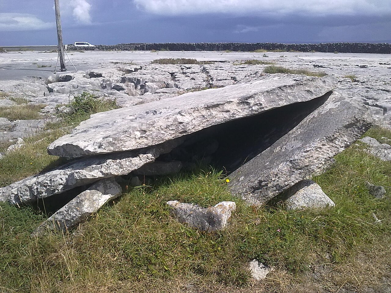
What is recorded here
Located towards the top of a gentle N-facing slope. A section of a gallery (L 3m; Wth 0.9-1.1m) with one roofstone in place opens to the SW where it faces into the corner of a field. It is within a small oval cairn. (Ó Nualláin and Walsh 1986, 26, 28)
Ó Nualláin, S. and Walsh, P. (1986) A reconsideration of the Tramore passage tombs. PPS 52, 25-9.
The above description is derived from the published 'Archaeological Inventory of County Waterford' (Dublin: Stationery Office, 1999). In certain instances the entries have been revised and updated in the light of recent research.
Compiled by: Michael Moore
Date of upload/revision: 27 May 2011
Wedge tomb, dating to the Late Neolithic or Early Bronze Age (c. 2500–1000 BCE). Its orientation and construction reflect a regional tradition in southwest Ireland, with significance as part of a broader funerary and ritual landscape.
The monument record does not grant public access. Check the route and ask the landowner before entering private land.
- What survives
- Recorded monument
Places near here
 Burnt mound in BallyscanlanBurnt mound · 866 yd
 Embanked enclosureFairy fort / earthen ringfort · 876 yd
 Ballyscanlon HillMountain / peak · 1.0 mi
 Fenor BogNature reserve · 1.3 mi
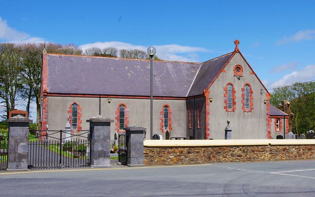 Catholic Church of the Immaculate ConceptionOfficially recorded historic building · 1.3 mi
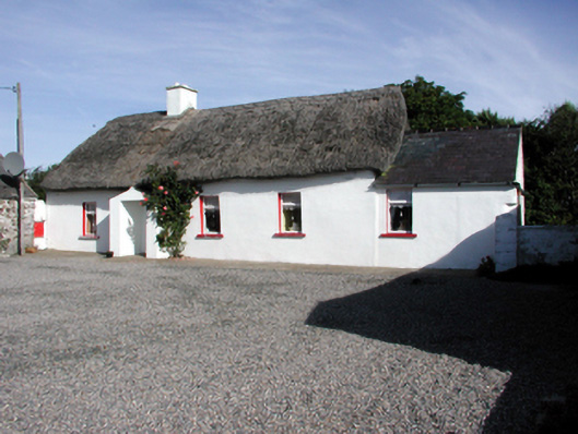 Historic buildingOfficially recorded historic building · 1.4 mi
 Doneraile WalkWalking route · 1.7 mi
 Cullen Castle (in ruins)Castle, tower house · 1.8 mi
 Cannon GunBattlefield · 1.8 mi
 Newtown WoodsWood · 1.8 mi
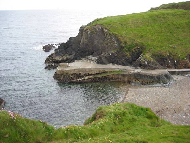 Newtown CoveBeach / strand · 2.0 mi
 Tramore Tourist OfficeVisitor information · 2.0 mi
Other information
Photo: Credit not shown in the picture search · Rights wording not checked; contact us if this picture should be removed