
What is recorded here
Situated on rock outcrop on a gentle S-facing slope. There are no historical references to this site, although it is recorded on a Down Survey (1655-6) map and the land here was owned by Francis Bryver of Waterford in 1640 (Simington 1942, 144). A rectangular tower (dims. 9.7m N-S; 8.7m E-W) with a slight base-batter and cut-stone quoins, of which only the ground floor survives complete. A destroyed doorway towards the N end of the E wall, protected by a guardroom in the N wall, leads through a lobby to the ground-floor chamber (int. dims. 6.2m N-S; 4.75m E-W) which has round-headed lights in the N, W and S walls, a destroyed fireplace in the S wall and a garderobe with corner loop at the NW angle. Mural stairs in the E wall rise to the first floor, which was supported on corbels in the E and W walls. There is evidence of corner loops at this level at the SE and SW angles, a window in the S wall and a garderobe in the N wall. There is no evidence of vaulting, but the first floor may have been a loft under a N-S vault. There is evidence of a stairs rising to the E from the centre of the N wall at the first floor. Archaeological testing (06E0641) in a farmyard c. 35m to the SSE produced no related material (Sheehan 2009).
Sheehan, C. (2009) Cullencastle. No archaeological significance. in I. Bennett (Ed.) Excavations 2006: summary accounts of archaeological excavations in Ireland, 528, No. 1981.
Simington, R. C. (ed.) (1942) The Civil Survey AD 1654-1656, vi, the County of Waterford. Irish Manuscripts Commission. Dublin.
The above description is derived from the published 'Archaeological Inventory of County Waterford' (Dublin: Stationery Office, 1999). In certain instances the entries have been revised and updated in the light of recent research.
Compiled by: Michael Moore
Date of upload/revision: 14 March 2011
Cullen Castle was built in the 17th century, with the land owned by Francis Bryver of Waterford by 1655. It is remembered primarily through its depiction on the Down Survey map, offering insight into early modern land ownership in the region.
The monument record does not grant public access. Check the route and ask the landowner before entering private land.
- What survives
- Recorded monument
Places near here
 Enclosure in Kilbride NorthEnclosure · 702 yd
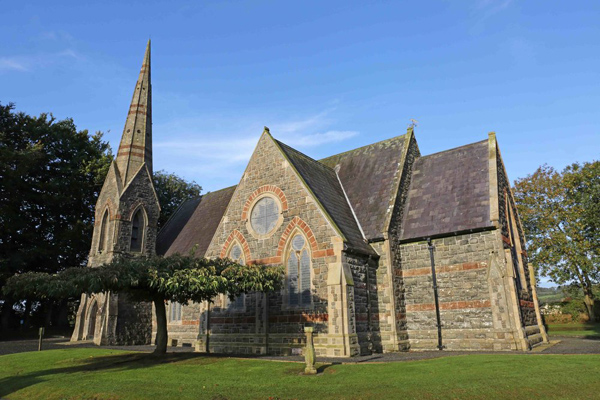 St, Brigets Church (in ruins)Church · 755 yd
 IndicatedRoad, road/trackway · 764 yd
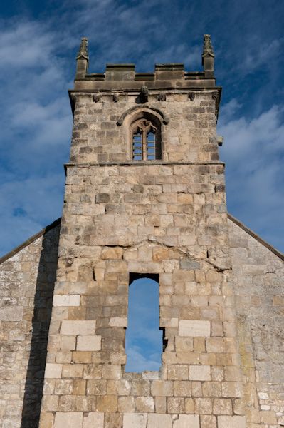 Settlement desertedSettlement deserted, medieval · 782 yd
 Sugar Loaf RockMountain / peak · 1.5 mi
 Tramore Tourist OfficeVisitor information · 2.1 mi
 Mote or TumulusCastle, motte · 2.2 mi
 Tourist InformationVisitor information · 2.2 mi
 Doneraile WalkWalking route · 2.3 mi
 Ballyscanlon HillMountain / peak · 2.4 mi
 Tramore Dunes WalkWalking route · 2.7 mi
 Fenor BogNature reserve · 2.7 mi
Other information
Photo: Credit not shown in the picture search · Rights wording not checked; contact us if this picture should be removed