
What is recorded here
Power (1895b, 137) describes a possible deserted settlement (WA017-050004-) in the vicinity of Kilbride church (WA017-050001-), and an ancient N-S roadway, probably connecting the church with the post-medieval house (WA017-051----) c. 130m to the S. It is not visible at ground level but there are clearance cairns at the site.
Power, Rev. P. (1895b) The ancient ruined churches of Waterford. WAJ. 1, 133-41, 152-72; 247-53.
Compiled by: Michael Moore
Date of upload/revision: 06 January 2011
The monument record does not grant public access. Check the route and ask the landowner before entering private land.
- What survives
- Recorded monument
Places near here
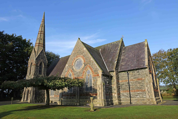 St, Brigets Church (in ruins)Church · 71 yd
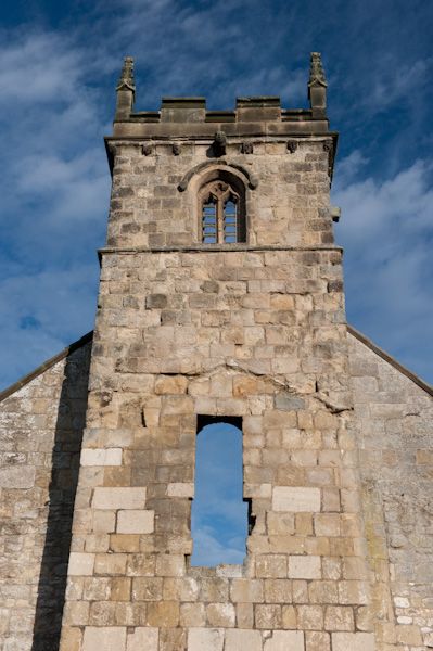 Settlement desertedSettlement deserted, medieval · 75 yd
 Enclosure in Kilbride NorthEnclosure · 86 yd
 Cullen Castle (in ruins)Castle, tower house · 764 yd
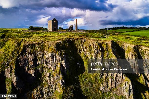 Mine in MonvoyMine · 1476 yd
 Sugar Loaf RockMountain / peak · 1.5 mi
 Tramore Tourist OfficeVisitor information · 2.0 mi
 Tourist InformationVisitor information · 2.1 mi
 Doneraile WalkWalking route · 2.3 mi
 Tramore Dunes WalkWalking route · 2.5 mi
 Mote or TumulusCastle, motte · 2.5 mi
 Ballyscanlon HillMountain / peak · 2.8 mi
Other information
Photo: Credit not shown in the picture search · Rights wording not checked; contact us if this picture should be removed