What is recorded here
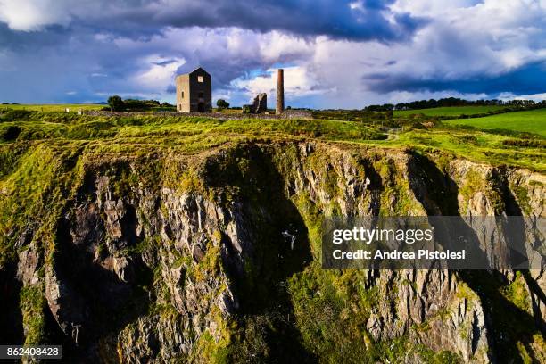
Situated on a slight N-facing slope. This is an area of rock outcrop which was exploited as a source of rhyolite. Excavations (E000348) by D. Henson in 1986 recovered over 10,000 artefacts including cores, blades, flakes, roughouts and retouched tools as well as debitage (Green et al. 1987, 35). Archaeological testing (96E0360) by Orla Scully c. 70m to the N produced some flint debitage but no features (Scully 1997f).
Green, S. W., Moore, J. and Zvelebil, M. (1987) Fornaght Strand, Monvoy and Knockavelish; Mesolithic /Neiolithic sites, in C. Cotter (Ed.) Excavations 1986: summary accounts of excavations in Ireland, 34-5. Wordwell. Dublin.
Scully, O.M.B. (1997e) Monvoy, Tramore. Prehistoric. in I. Bennett Excavations 1996: summary accounts of archaeological excavations in Ireland, 111, No 389. Wordwell. Bray.
The above description is derived from the published 'Archaeological Inventory of County Waterford' (Dublin: Stationery Office, 1999). In certain instances the entries have been revised and updated in the light of recent research.
Compiled by: Michael Moore
Date of upload/revision: 27 May 2011
The monument record does not grant public access. Check the route and ask the landowner before entering private land.
- What survives
- Recorded monument
Places near here
 Embanked enclosureEnclosure · 782 yd
 Burnt spread in MonloumBurnt spread · 921 yd
 IndicatedRoad, road/trackway · 1476 yd
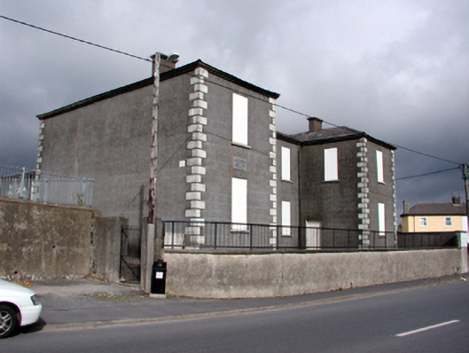 Saint Otteran's Christian Schoolsschool · 1520 yd
 Cullen Castle (in ruins)Castle, tower house · 1657 yd
 Tramore Tourist OfficeVisitor information · 1.2 mi
 Tourist InformationVisitor information · 1.3 mi
 Cannon GunBattlefield · 1.5 mi
 Doneraile WalkWalking route · 1.5 mi
 Tramore Dunes WalkWalking route · 1.8 mi
 Sugar Loaf RockMountain / peak · 2.3 mi
Other information
Photo: Credit not shown in the picture search · Rights wording not checked; contact us if this picture should be removed