What is recorded here
Situated on a slight S-facing slope. This is an Old Red Sandstone conglomerate with a subrectangular cross-section (dims. 0.47m E-W; 0.3m N-S; H 2.4m) oriented E-W at the base, and with a pointed top roughly aligned N-S.
Compiled by: Michael Moore
Date of upload/revision: 27 May 2011
The monument record does not grant public access. Check the route and ask the landowner before entering private land.
- What survives
- Recorded monument
Places near here
 Embanked enclosureEnclosure · 418 yd
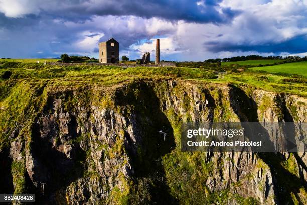 Mine in MonvoyMine · 589 yd
 IndicatedRoad, road/trackway · 887 yd
 Enclosure in Kilbride NorthEnclosure · 945 yd
 Cullen Castle (in ruins)Castle, tower house · 1163 yd
 Tramore Tourist OfficeVisitor information · 1.5 mi
 Tourist InformationVisitor information · 1.6 mi
 Doneraile WalkWalking route · 1.8 mi
 Cannon GunBattlefield · 1.8 mi
 Sugar Loaf RockMountain / peak · 2.0 mi
 Tramore Dunes WalkWalking route · 2.0 mi