What is recorded here
From the National Monuments Service (Archaeological Survey of Ireland) record WA026-012
Places near here
Photo credits
- Maker not stated on source page, www.britainexpress.com
- Maker not stated on source page, ru.wikipedia.org
- Maker not stated on source page, www.dailypost.co.uk
- A.-K. D., Wikimedia Commons · CC BY-SA 4.0
- Maker not stated on source page, www.wellwoodmemorials.com
- National Inventory of Architectural Heritage
- David Hawgood, Geograph · Creative Commons Attribution-ShareAlike 2.0
- Maker not stated on source page, au.pinterest.com
- Paul O'Farrell, Geograph · CC BY-SA 2.0
- Golfing in Ireland; photographer not stated, Source publisher
 Standing stone in Kilbride SouthStanding stone · 418 yd
Explorer Tom Standing stone in Kilbride South is a pointed little fellow who's feuding with Kilbryan over who has the uglier top…
 Enclosure in Munmahoge (middlethird By., Kilbride Par.)Enclosure · 1440 yd
Explorer Tom Enclosure in Munmahoge is just a cropmark now, which sounds lazy, but someone wrote a really bad poem about it once…
 Standing stone in Ballynaclogh SouthStanding stone · 1.3 mi
Explorer Tom Standing stone in Ballynaclogh South is covered in lichen and hiding a scandal from the 1890s that nobody wants to…
 Spring FarmHouse · 1.3 mi
Explorer Tom Spring Farm in Crobally Upper looks like it was built by someone who really liked adding on bits. It’s a…
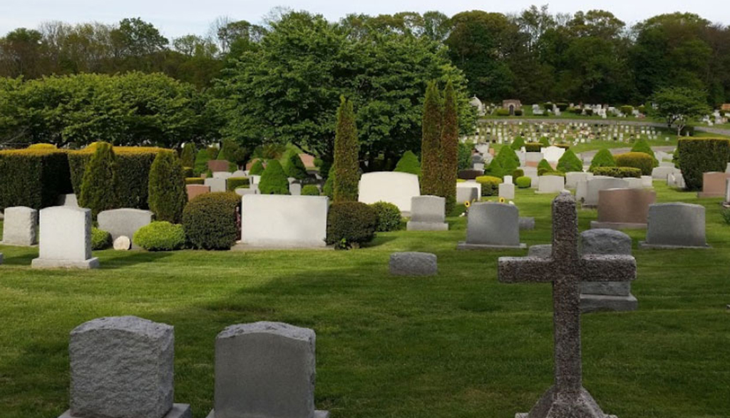 Saint Patrick's CemeteryCemetery · 1.3 mi
Explorer Tom Saint Patrick's Cemetery’s New Year’s resolution is to finally get the ivy off that one really wobbly cross on the…
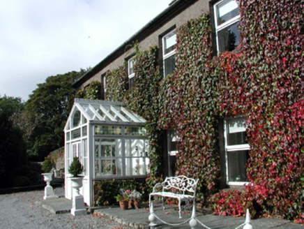 Bay ViewHouse · 1.4 mi
Explorer Tom Bay View in Ballycarnane claims to be older than the concept of time itself, though I suspect it’s just a bit…
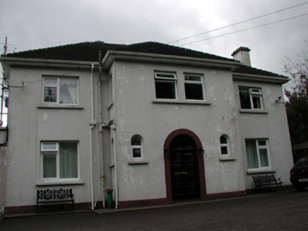 LisheenHouse · 1.4 mi
Explorer Tom Lisheen in Ballycarnane would bring a vintage record player to any party because it thinks being from the mid-twentieth…
 Catholic Church of the Holy CrossOfficially recorded historic building · 1.4 mi
Explorer Tom Catholic Church of the Holy Cross in Tramore West, County Waterford is secretly proud of a potato it grew in the back…
 Standing stone in CarrickavarahaneStanding stone · 1.5 mi
Explorer Tom Standing stone in Carrickavarahane is a green block perched on a slope overlooking a lake, and if you give it three…
 BreladeHouse · 1.6 mi
Explorer Tom Brelade in Tramore West is a fancy house with stained glass that looks like it’s trying to impress a fox. Legend has it…
 Doneraile WalkWalking route · 1.8 mi
Explorer Tom Doneraile Walk has a cannon parked on its shoulder like a very grumpy bodyguard who’s seen too much and is now judging…
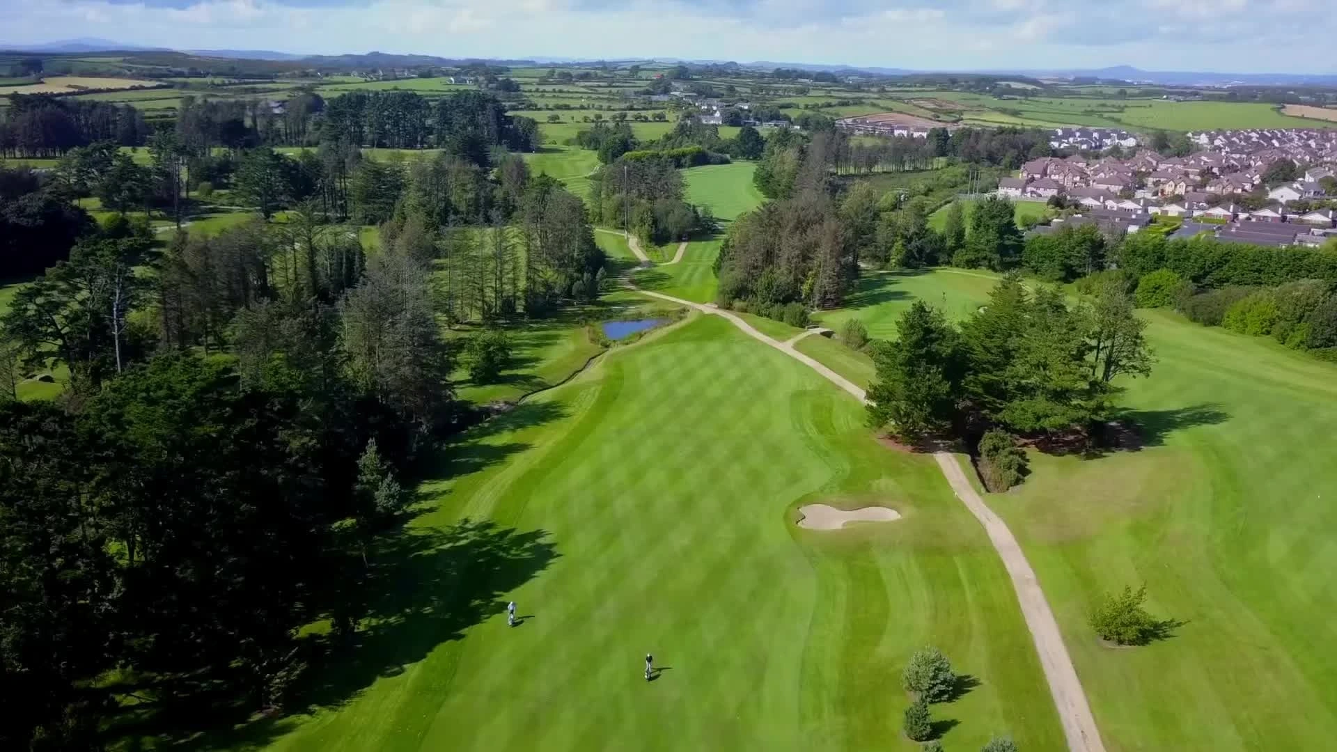 Tramore Golf ClubGolf course · 1.9 mi
More archaeology and monuments in County Waterford · All of County Waterford

What do you know about this place?Tap to add a comment or ask a question