
What is recorded here
In tillage. A cropmark of a circular enclosure identified by Simon Dowling (drone image, summer 2018). The enclosure (diam. c. 25m), is located in the SW quadrant of a large ecclesiastical enclosure (WA017-050007-)and appears to overlie the enclosing element of the latter. Within the ecclesiastical enclosure is the medieval church (WA017-050001-) and graveyard (WA017-050002-) of Kilbride.
See attached photograph:
WA017-050007-_01 by Simon Dowling
Compiled by: Jean Farrelly
Date of upload: 9 December 2019
The monument record does not grant public access. Check the route and ask the landowner before entering private land.
- What survives
- Recorded monument
Places near here
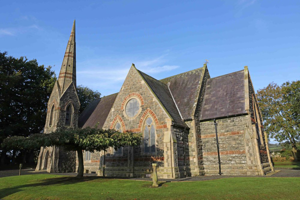 St, Brigets Church (in ruins)Church · 54 yd
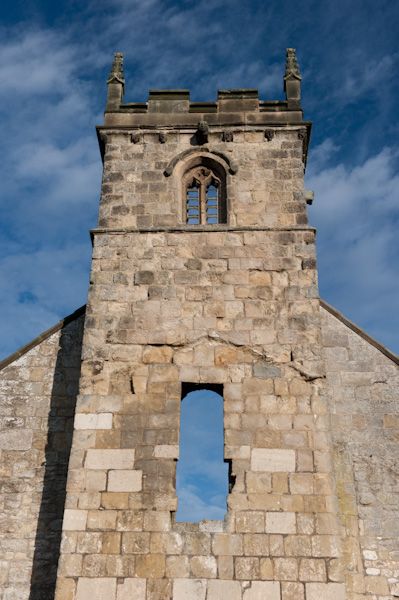 Settlement desertedSettlement deserted, medieval · 80 yd
 IndicatedRoad, road/trackway · 86 yd
 Cullen Castle (in ruins)Castle, tower house · 702 yd
 Embanked enclosureEnclosure · 939 yd
 Sugar Loaf RockMountain / peak · 1.5 mi
 Tramore Tourist OfficeVisitor information · 2.0 mi
 Tourist InformationVisitor information · 2.2 mi
 Doneraile WalkWalking route · 2.3 mi
 Mote or TumulusCastle, motte · 2.5 mi
 Tramore Dunes WalkWalking route · 2.5 mi
 Ballyscanlon HillMountain / peak · 2.8 mi
Other information
Photo: Credit not shown in the picture search · Rights wording not checked; contact us if this picture should be removed