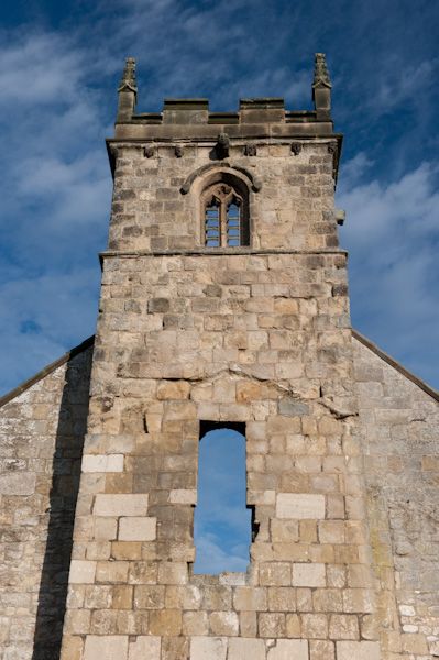
What is recorded here
Power (1895b, 137) describes a possible deserted settlement as follows: 'Close by the ruin [St Bridgid's church; WA017-050001-] are traces of early and extensive occupation in the shape of mounds and lines of earthwork enclosing square spaces. An ancient road, leading in a northerly direction, can be traced for some distance between its earthen ramparts.' These are not visible at ground level and there are clearance cairns at the site.
Compiled by: Michael Moore, Paul Walsh
Date of upload/revision: 26 March 2013
The monument record does not grant public access. Check the route and ask the landowner before entering private land.
- What survives
- Recorded monument
Places near here
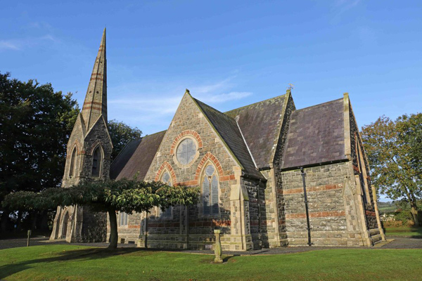 St, Brigets Church (in ruins)Church · 27 yd
 IndicatedRoad, road/trackway · 75 yd
 Enclosure in Kilbride NorthEnclosure · 80 yd
 Cullen Castle (in ruins)Castle, tower house · 782 yd
 Enclosure in Munmahoge (middlethird By., Kilbride Par.)Enclosure · 944 yd
 Sugar Loaf RockMountain / peak · 1.5 mi
 Tramore Tourist OfficeVisitor information · 2.0 mi
 Tourist InformationVisitor information · 2.2 mi
 Doneraile WalkWalking route · 2.3 mi
 Mote or TumulusCastle, motte · 2.5 mi
 Tramore Dunes WalkWalking route · 2.5 mi
 Ballyscanlon HillMountain / peak · 2.9 mi
Other information
Photo: Credit not shown in the picture search · Rights wording not checked; contact us if this picture should be removed