What is recorded here
Situated on the steep E-facing slope of a ravine with a N-S stream c. 80m to the E. The well, known locally as 'Tubber Cill Eilbe', is traditionally thought to have curative properties. It is a natural spring (dims. x. 0.7m x c. 0.5m) now enclosed in a rectangular enclosure (int. dims. 2.4m E-W; 2.2m N-S) defined by concrete walls. Two ogham stones, one broken, that were originally used as lintels over the well (Westropp 1906, 251) are now placed beside it. They were read by Macalister (1945, vol. 1, 266-7) as: 1, QRIT [...] MAQ[I LO]BACONA AVE NEAGRACOLINEA; 2, NETAVROQI MAQI QIC[... .
Situated on the steep E-facing slope of a ravine with a N-S stream c. 80m to the E. The well, known locally as 'Tubber Cill Eilbe', is traditionally thought to have curative properties. It is a natural spring (dims. x. 0.7m x c. 0.5m) now enclosed in a rectangular enclosure (int. dims. 2.4m E-W; 2.2m N-S) defined by concrete walls. Two ogham stones, one broken, that were originally used as lintels over the well…
From the National Monuments Service (Archaeological Survey of Ireland) record WA024-061001
The monument record does not grant public access. Check the route and ask the landowner before entering private land.
- What survives
- Recorded monument
Places near here
Photo credits
- National Inventory of Architectural Heritage
- John M, Geograph · CC BY-SA 2.0
- ethics girl, Geograph · CC BY-SA 2.0
- Jonathan Thacker, Geograph · CC BY-SA 2.0
- Veekrokki, Wikimedia Commons · Public domain
- Robert French, Wikimedia Commons · Public domain
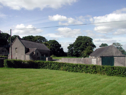 farmyard complex646 yd
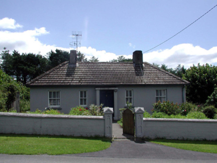 Saint Jude'sHouse · 806 ydStradballySettlement cluster · 932 yd
 Stradbally CoveBeach / strand · 1436 ydCastle (in ruins)Castle, unclassified · 1.4 mi
 Ballydowane CoveBeach / strand · 2.0 miChurch (in ruins)Castle, unclassified · 2.6 miGrange WellSpring · 2.9 miTrá na mBóVisitor information · 3.2 mi
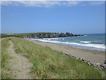 Bunmahon StrandBeach / strand · 3.5 mi
 Copper CoastCoastal geological landscape · 3.6 mi
 CastleStructure · 4.1 mi
More archaeology and monuments in County Waterford · All of County Waterford
What do you know about this place?