
What is recorded here
Fox's Castle is a subrectangular stone platform set into a scrub-covered rock outcrop in County Waterford. John O'Donovan called it the ruins of a strong castle around 1840, yet no historical reference names its builders or purpose. The wall still stands nearly two metres high on three sides, while the fourth dissolves into the living rock. It is not a grand castle in the usual sense, but a small, defiant chamber built where the earth itself seemed to offer a corner.
Located on top of scrub-covered rock outcrop. There are no historical references to a castle here, although the ruin is marked on a Taylor and Skinner map (1778, 165) and John O'Donovan recorded the 'ruins of a strong castle' in this townland c. 1840 (O'Flanagan 1929, 30). This is a subrectangular platform (int. dims. 9.75m E-W; 6.8m N-S) defined by a stone wall (Wth c. 1m; max. H 1.9m) or wall-footings on three sides and abutting the rock face at N. Archaeological testing (08E0066) c. 100m to the N on the other side of the NE-SW public road produced some undated fire-spots but no archaeological structures (Pollock 2011), and testing (08E0153) c. 60m to the NE only produced evidence of a field boundary (Pollock 2008).
The above description is derived from the published 'Archaeological Inventory of County Waterford' (Dublin: Stationery Office, 1999). In certain instances the entries have been revised and updated in the light of recent research.
Compiled by: Michael Moore.
Date of upload/revision: 9th August, 2011.
Built by the Fox family in the 17th century, Fox's Castle is remembered as a rare example of a privately constructed defensive structure in the region, reflecting local tensions and the role of influential families in early modern Ireland.
The monument record does not grant public access. Check the route and ask the landowner before entering private land.
- What survives
- Recorded monument
Places near here
 Water millWater mill, horizontal-wheeled · 257 yd
 Embanked enclosureFairy fort / earthen ringfort · 371 yd
 IndicatedRoad, road/trackway · 388 yd
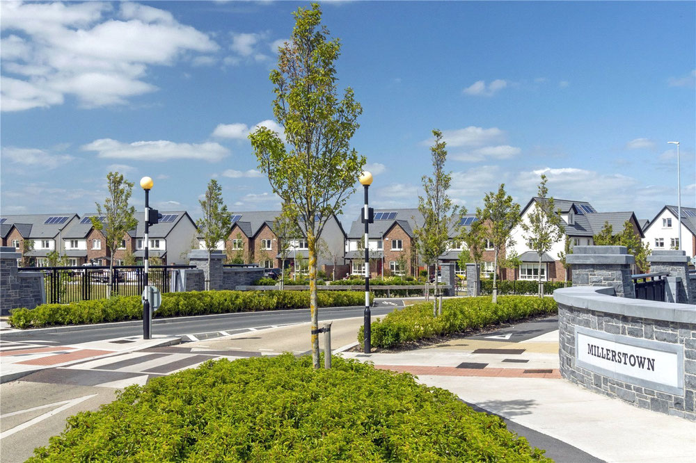 Man-made underground passage in MillerstownMan-made underground passage · 1633 yd
 Castle (in ruins)Castle, unclassified · 1.4 mi
 Bawn in Castlequarter (decies Without Drum By., Kilrossanty Par.)Bawn · 1.8 mi
 Stradbally Geological SundialHeritage attraction · 2.3 mi
 Stradbally CoveBeach / strand · 2.8 mi
 Grange WellSpring · 3.5 mi
 Deelish MountainMountain / peak · 3.7 mi
 Crough WoodWood · 3.9 mi
 CrohaunMountain / peak · 4.2 mi
Other information
Photo: Credit not shown in the picture search · Rights wording not checked; contact us if this picture should be removed