
What is recorded here
Situated on the E bank of the S-N Tay River. A number of worked oak timbers, some with mortises, were found during land reclamation c. 1970 (NMI file).
The above description is derived from the published 'Archaeological Inventory of County Waterford' (Dublin: Stationery Office, 1999). In certain instances the entries have been revised and updated in the light of recent research.
Date of upload/revision: 23 December 2008
The monument record does not grant public access. Check the route and ask the landowner before entering private land.
- What survives
- Recorded monument
Places near here
 Church (in ruins)Castle, unclassified · 257 yd
 Embanked enclosureFairy fort / earthen ringfort · 465 yd
 IndicatedRoad, road/trackway · 607 yd
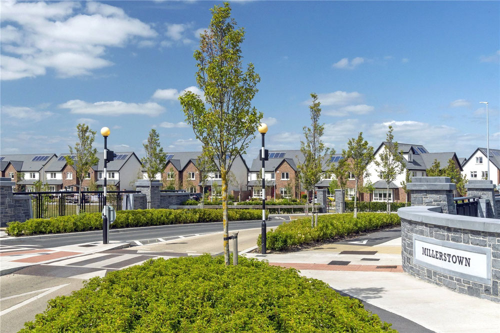 Man-made underground passage in MillerstownMan-made underground passage · 1652 yd
 Durrow Viaductbridge · 1.1 mi
 Castle (in ruins)Castle, unclassified · 1.6 mi
 Stradbally Geological SundialHeritage attraction · 2.4 mi
 Grange WellSpring · 3.6 mi
 Deelish MountainMountain / peak · 3.6 mi
 Crough WoodWood · 3.8 mi
 CrohaunMountain / peak · 4.1 mi
 Magic Road (finish)Heritage attraction · 4.3 mi
Other information
Photo: Credit not shown in the picture search · Rights wording not checked; contact us if this picture should be removed