
What is recorded here
Located towards the bottom of a S-facing slope. The holy well of St John the Baptist, a natural spring, is c. 50m to the NW of the parish church of Kilmacomb (WA027-006001-). J. O'Donovan, writing c. 1840 (O'Flanagan 1929, 7-8), thought that it was dedicated to St. John the Baptist, but Power (1890-91) thought that it was dedicated to St. Mathew as the pattern was held on the 21st September.
O'Flanagan, M. (Compiler) (1929) Letters containing information relative to the antiquities of the county of Waterford collected during the progress of the Ordnance Survey in 1841. Typescript. Bray.
Power, Rev. P. (1890-91) The ancient ruined churches of Co. Warterford. JRSAI 20-21, 475-82.
Compiled by: Michael Moore
Date of upload/revision: 31 May 2011
St. John the Baptist's Well is associated with the patron saint of the summer solstice and is traditionally linked to healing and purification. The well may have been a site of early Christian pilgrimage, with customs such as the collection of water on St John's Day (24 June) for blessings and remedies.
The monument record does not grant public access. Check the route and ask the landowner before entering private land.
- What survives
- Recorded monument
Places near here
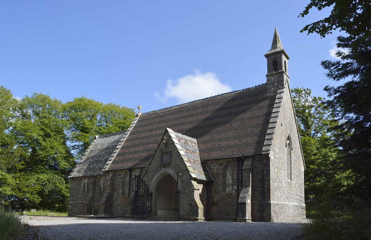 Church (in ruins)Church · 50 yd
 Enclosure in KilmacombEnclosure · 493 yd
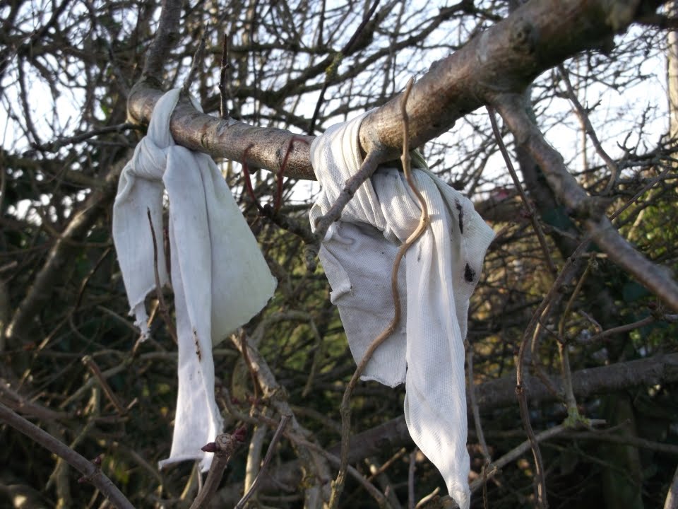 Fairy bushRitual site, holy tree/bush · 599 yd
 The Black Woman's RoadWalking route · 1331 yd
 Fairy Bush LoopWalking route · 1584 yd
 Island Viewgates/railings/walls · 1.2 mi
 Knockavelish HeadHeadland · 1.8 mi
 Fornaght StrandBeach / strand · 1.9 mi
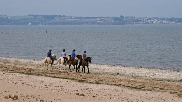 Woodstown StrandBeach / strand · 1.9 mi
 Newtown HeadHeadland · 2.6 mi
 The Baldy ManViewpoint · 4.0 mi
 Memory of the crew of "Rescue 111"Memorial · 4.2 mi
Other information
Photo: Credit not shown in the picture search · Rights wording not checked; contact us if this picture should be removed