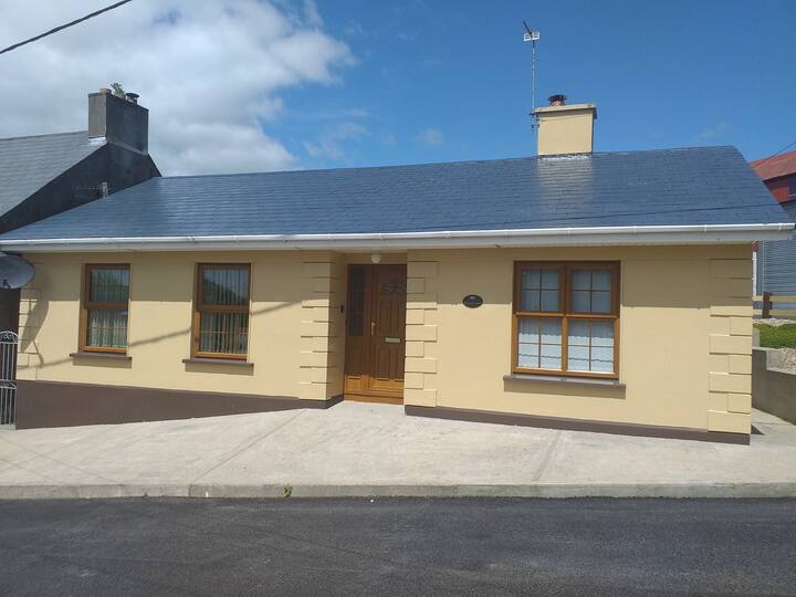
What is recorded here
Located on a S-facing slope. The cropmark of a circular enclosure (diam. c. 30m) is visible on aerial photogtaphs (WA027-087_1 to 4), taken in 2006.
Compiled by: Michael Moore
Date of upload/revision: 10 June 2011
The monument record does not grant public access. Check the route and ask the landowner before entering private land.
- What survives
- Recorded monument
Places near here
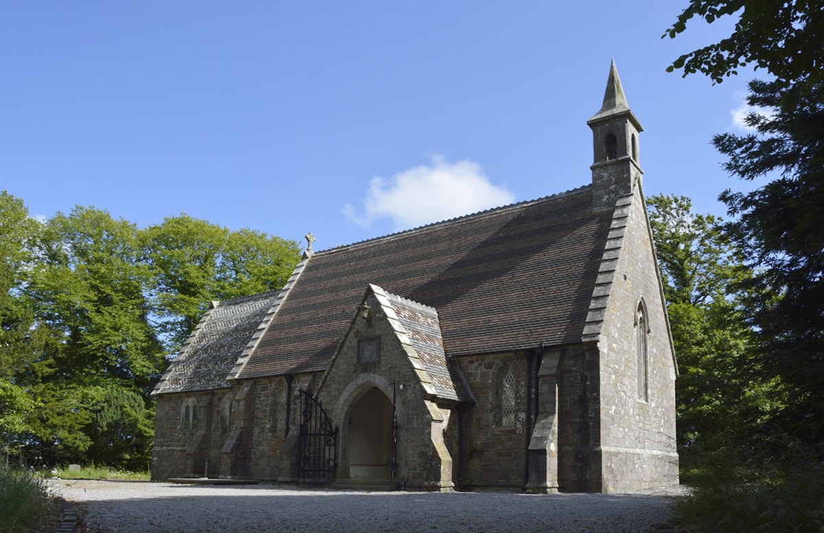 Church (in ruins)Church · 469 yd
 St. John the Baptists WellHoly well · 493 yd
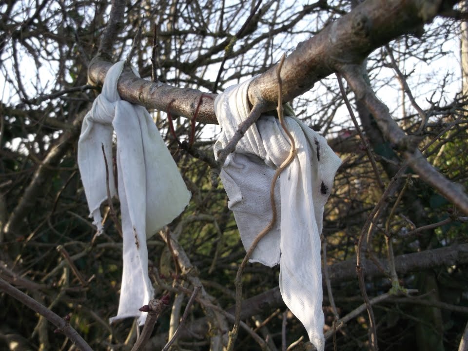 Fairy bushRitual site, holy tree/bush · 559 yd
 Fairy Bush LoopWalking route · 1623 yd
 The Black Woman's RoadWalking route · 1.0 mi
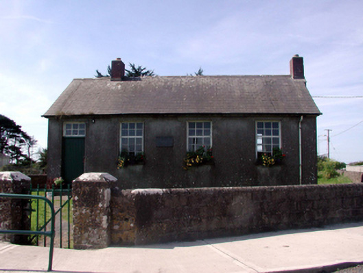 Killea National SchoolOfficially recorded historic building · 1.2 mi
 Councillors StrandBeach / strand · 2.1 mi
 Castle in ruinsCastle, Anglo-Norman masonry castle · 2.2 mi
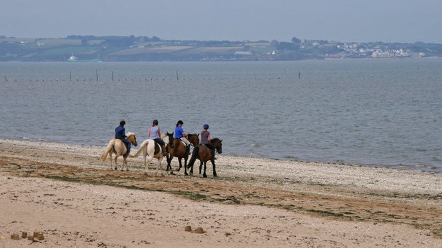 Woodstown StrandBeach / strand · 2.2 mi
 South East Coastal DriveVisitor information · 3.0 mi
 Main ForestWood · 3.0 mi
 Lower ForestWood · 3.0 mi
Other information
Photo: Credit not shown in the picture search · Rights wording not checked; contact us if this picture should be removed