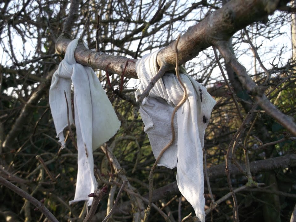
What is recorded here
Marked as the site of a Fairy Bush at Fairy Bush crossroads, a five-road junction, on the 1840 ed. of the OS 6-inch map. Situated on a rise with the N-S ridge of Carrickadhirra rising over it c. 600m to the NNE. The location is known locally and was situated inside the field bank on the NW side of the road junction. According to Power (1906, 39) there may have been a cairn associated with it, but nothing is now visible at ground level.
Power, Rev. P. (1906a) The place-names of the Decies WAJ 9, 12-39, 80-106, 154-70, 228-65.
Compiled by: Michael Moore
Date of upload/revision: 10 June 2011
Linked to local fairy folklore, the Fairy Bush at Harristown is associated with beliefs in otherworldly beings and may have been a site of ancient ritual or reverence. Such locations were often considered liminal spaces where the veil between the human and fairy realms was thin, and offerings or acts of respect were thought necessary to avoid fairy wrath.
The monument record does not grant public access. Check the route and ask the landowner before entering private land.
- What survives
- Recorded monument
Places near here
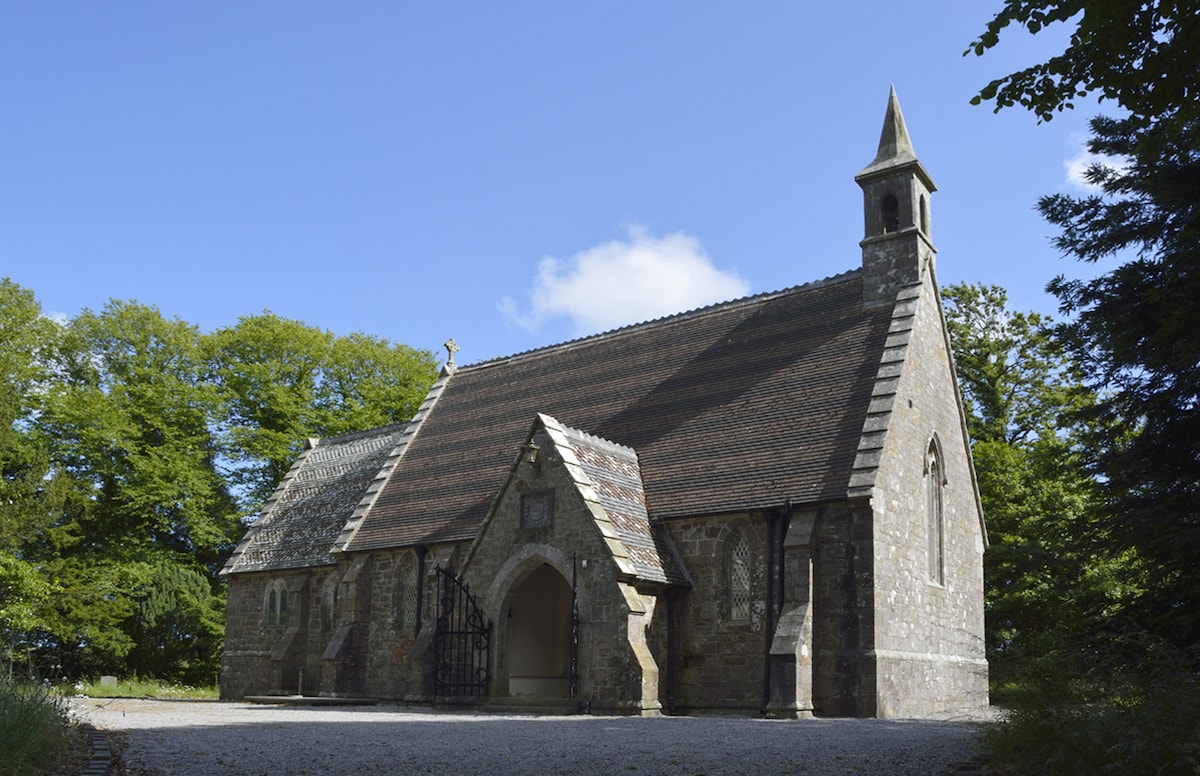 Church (in ruins)Church · 549 yd
 Enclosure in KilmacombEnclosure · 559 yd
 St. John the Baptists WellHoly well · 599 yd
 Fairy Bush LoopWalking route · 1072 yd
 The Black Woman's RoadWalking route · 1563 yd
 Island Viewgates/railings/walls · 1.0 mi
 Knockavelish HeadHeadland · 1.8 mi
 Fornaght StrandBeach / strand · 1.8 mi
 Councillors StrandBeach / strand · 1.9 mi
 Castle in ruinsCastle, Anglo-Norman masonry castle · 1.9 mi
 Lost at Sea Memorial WallMemorial · 2.4 mi
 Newtown HeadHeadland · 2.7 mi
Other information
Photo: Credit not shown in the picture search · Rights wording not checked; contact us if this picture should be removed