What is recorded here
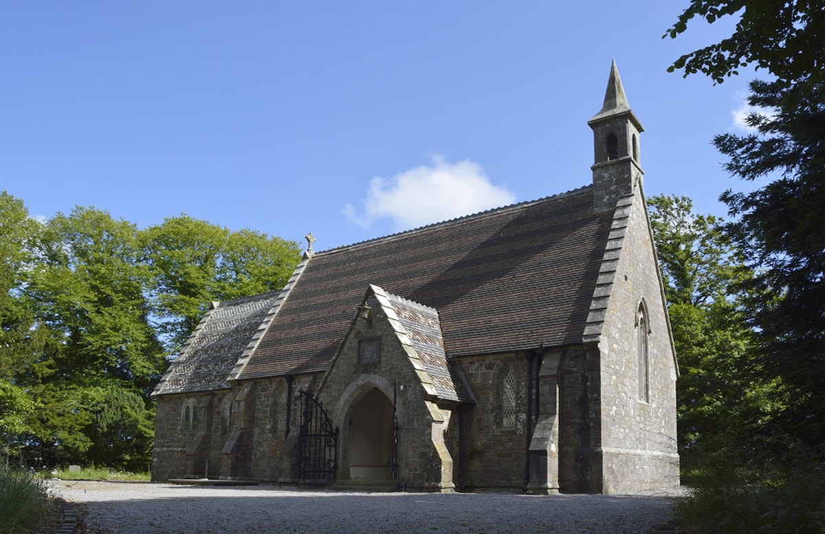
Located towards the bottom of a S-facing slope. This is the parish church of Kilmacomb, described as in disrepair in 1615 (Power 1913, 116). There is no surviving evidence of burial, although a graveyard (dims. c. 30m N-S; c. 25m E-W) is indicated on the 1840 ed. of the OS 6-inch map. The church is a rectangular structure (int. dims. 14.1m E-W; 4.8m N-S) represented by wall foundations and the W gable with a rectangular window and an internal ledge to support a gallery. A possible bullaun stone has been removed from the site. The holy well of St John the Baptist, a natural spring, is c. 50m to the NW, and an earthwork site (WA027-006005-) is immediately S of the church. (Power 1890-91, 475-6; Anon. 1912, 277)
Anon. (1912) Proceedings - Waterford historical sketch, JRSAI 42, 256-83.
Power, Rev. P. (1890-91) The ancient ruined churches of Co. Warterford. JRSAI 20-21, 475-82.
Power, Rev. P. (1913) Material condition of the churches of Waterford. WAJ 16, 114-21.
The above description is derived from the published 'Archaeological Inventory of County Waterford' (Dublin: Stationery Office, 1999). In certain instances the entries have been revised and updated in the light of recent research.
Compiled by: Michael Moore
Date of upload/revision: 31 May 2011
A local church or high cross; wider significance not recorded.
This remains an important historical record, but the official description says the monument is no longer visible or has been destroyed. The monument record does not grant public access. Check the route and ask the landowner before entering private land.
- What survives
- No visible remains or recorded as destroyed
Places near here
 St. John the Baptists WellHoly well · 50 yd
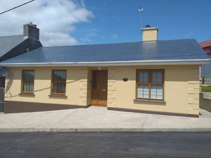 Enclosure in KilmacombEnclosure · 469 yd
 The Black Woman's RoadWalking route · 1344 yd
 Fairy Bush LoopWalking route · 1540 yd
 Island Viewgates/railings/walls · 1.2 mi
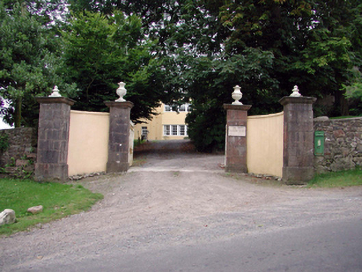 post boxpost box · 1.3 mi
 Knockavelish HeadHeadland · 1.8 mi
 Fornaght StrandBeach / strand · 1.9 mi
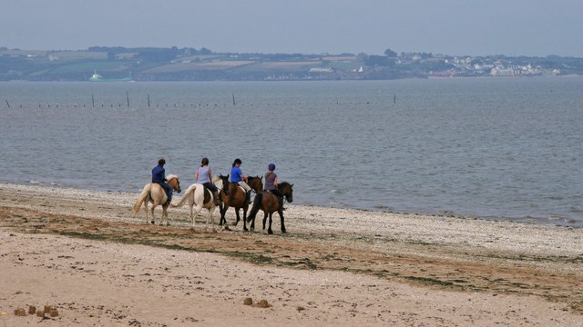 Woodstown StrandBeach / strand · 1.9 mi
 Newtown HeadHeadland · 2.6 mi
 The Baldy ManViewpoint · 4.0 mi
 Memory of the crew of "Rescue 111"Memorial · 4.2 mi
Other information
Photo: Credit not shown in the picture search · Rights wording not checked; contact us if this picture should be removed