What is recorded here
In a small river valley in high mountainous terrain above the Mahon Falls, in the Comeragh Mountains. The River Mahon flows NW-SE c. 350m to the N. A ruinous sub-circular structure (diam. c. 4m) constructed on roughly coursed limestone rubble drystone walling, occupying a small natural rocky knoll which may have been augmented. The walling suggests a 18th/19th-century date for this structure. This structure was identified and reported by Helen Lawless. See attached:
WA014-067----_01 Photograph by Helen Lawless
WA014-067----_02 Photograph by Helen Lawless
Compiled by: Jean Farrelly
Date of upload: 11 January 2023
In a small river valley in high mountainous terrain above the Mahon Falls, in the Comeragh Mountains. The River Mahon flows NW-SE c. 350m to the N. A ruinous sub-circular structure (diam. c. 4m) constructed on roughly coursed limestone rubble drystone walling, occupying a small natural rocky knoll which may have been augmented. The walling suggests a 18th/19th-century date for this structure. This structure was…
From the National Monuments Service (Archaeological Survey of Ireland) record WA014-067
The monument record does not grant public access. Check the route and ask the landowner before entering private land.
- What survives
- Recorded monument
Places near here
 Mahon FallsWaterfall · 521 yd
 Mahon ValleyCliff · 836 yd
 KnockaunapeebraMountain / peak · 914 ydHut site in KilclooneyHut site · 971 ydCairnCairn, unclassified · 985 yd
 CoumfeaMountain / peak · 1136 ydMahon ValleyCliff · 1.1 mi
 CoumshingaunMountain corrie and lake · 1.7 miSiglloges LoopWalking route · 2.0 mi
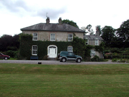 RockmountHouse · 2.9 mi
 Comeragh LodgeHouse · 2.9 mi
 CastleCastle, tower house · 5.6 mi
Pictures: Rwxrwxrwx at English Wikipedia, Wikimedia Commons · Public domain; kevin higgins, Geograph · CC BY-SA 2.0; Colin Park, Geograph · CC BY-SA 2.0; Kevin O'Brien 13, Wikimedia Commons · CC BY-SA 4.0; National Inventory of Architectural Heritage; ethics girl, Geograph · CC BY-SA 2.0
More archaeology and monuments in County Waterford · All of County Waterford
What do you know about this place?