
What is recorded here
Situated on the summit of Knockaunapeebra Mountain. Two low, conjoined grass-covered cairns form an oval platform (dims. 9.3m WNW-ESE; 4m NNE-SSW; H 0.2m) supporting two, modern stone pyramids (H 0.8-0.9m).
The above description is derived from the published 'Archaeological Inventory of County Waterford' (Dublin: Stationery Office, 1999). In certain instances the entries have been revised and updated in the light of recent research.
Compiled by: Michael Moore
Date of upload: 19 November 2010
The monument record does not grant public access. Check the route and ask the landowner before entering private land.
- What survives
- Recorded monument
Places near here
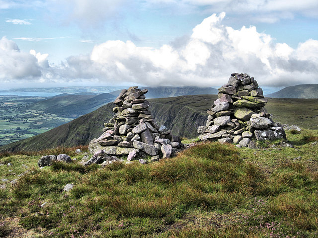 KnockaunapeebraMountain / peak · 81 yd
 Hut site in KilclooneyHut site · 245 yd
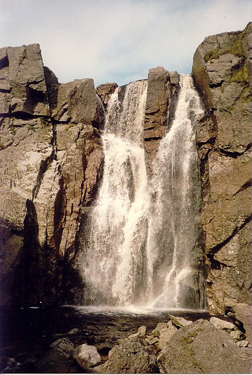 Mahon FallsWaterfall · 657 yd
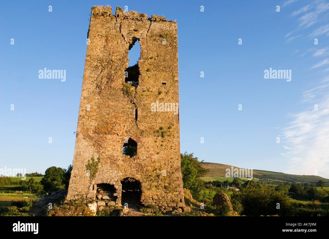 Structure in ComeraghmountainStructure · 985 yd
 Mahon ValleyCliff · 985 yd
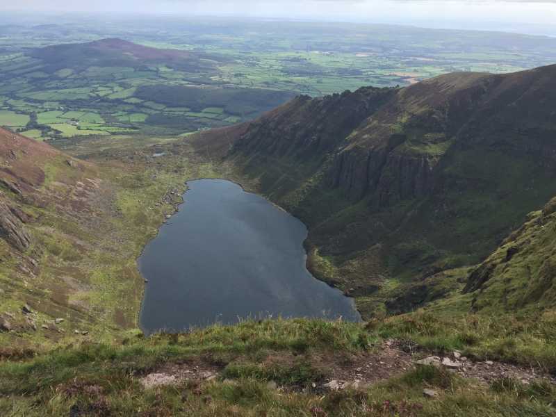 Kilclooney MountainMountain / peak · 1044 yd
 CoumshingaunMountain corrie and lake · 1.1 mi
 Kilclooney WoodForest · 2.0 mi
 Siglloges LoopWalking route · 2.1 mi
 Crough WoodWood · 2.3 mi
 Coumlara LoopWalking route · 2.4 mi
 Palliser MillRuins · 2.5 mi
Other information
Photo: Credit not shown in the picture search · Rights wording not checked; contact us if this picture should be removed