What is recorded here
Mahon Valley is recorded as a cliff in County Waterford.
From OpenStreetMap (© OpenStreetMap contributors) w136623346
Places near here
Structure in ComeraghmountainStructure · 786 yd CoumfeaMountain / peak · 1658 ydFulacht fia in ComeraghmountainFulacht fia · 1.0 miMahon FallsWaterfall · 1.3 miSeefinMountain / peak · 1.3 miMahon ValleyCliff · 1.3 miSiglloges LoopWalking route · 2.3 miCoumlara LoopWalking route · 2.7 miCoumshingaunMountain corrie and lake · 2.8 miCrough WoodWood · 2.9 miNell's CottageFarm house · 3.0 miComeragh LodgeHouse · 3.3 mi
 CoumfeaMountain / peak · 1658 ydFulacht fia in ComeraghmountainFulacht fia · 1.0 mi
 Mahon FallsWaterfall · 1.3 mi
 SeefinMountain / peak · 1.3 mi
 Mahon ValleyCliff · 1.3 miSiglloges LoopWalking route · 2.3 miCoumlara LoopWalking route · 2.7 mi
 CoumshingaunMountain corrie and lake · 2.8 miCrough WoodWood · 2.9 mi
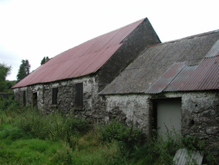 Nell's CottageFarm house · 3.0 mi
 Comeragh LodgeHouse · 3.3 mi
Pictures: Colin Park, Geograph · CC BY-SA 2.0; Rwxrwxrwx at English Wikipedia, Wikimedia Commons · Public domain; kevin higgins, Geograph · CC BY-SA 2.0; Kevin O'Brien 13, Wikimedia Commons · CC BY-SA 4.0; National Inventory of Architectural Heritage
More cliffs, bays and coast in County Waterford · All of County Waterford
What do you know about this place?