What is recorded here
Archaeological monitoring (01E1060 ext.) on the N side of Bath St. uncovered what might be the foundation trench (Wth 0.4-0.6m; D 0.3m) at the E end of a small a medieval structure (ext. dims. 1.7m N-S; int. dims. 0.85m N-S). The trench was cut into the natural clay and four sherds of medieval pottery were associated with it (Noonan and Doolan 2002, 5). (Noonan 2004b)
Noonan, D. and Doolan, A. (2002) Report on archaeological monitoring of Phase 2 of Residential development at The Lookout, Quay St., Dungarvan, Co. Waterford. Unpublished report. Eachtra Archaeological Projects. Noonan, D. (2004b) The Lookout, Quay Street, Dungarvan. in I. Bennett (ed.) Excavations 2002. summary account of excavations in Ireland, 489, No. 1789. Wordwell. Bray.
From the National Monuments Service (Archaeological Survey of Ireland) record WA031-040025
The monument record does not grant public access. Check the route and ask the landowner before entering private land.
- What survives
- Recorded monument
Places near here
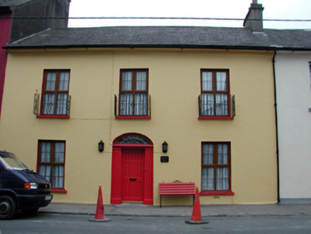 Glandore HouseHouse · 56 yd
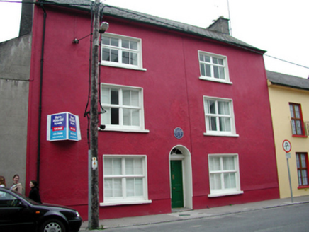 Church Street HouseHouse · 62 yd
 Dungarvan Castle (in Ruins)Castle, Anglo-Norman masonry castle · 156 yd
 Dungarvan CastleCastle · 157 yd
 Waterford County MuseumMuseum · 230 yd
 Grattan SquareVisitor information · 397 yd
 Cunnigar PointHeadland · 547 yd
 Horse-chestnut2.1 mi
 Master McGrathMemorial · 2.8 mi
 Battle of AffaneMajor battlefield · 9.7 mi
 Ogham StonesOgham stone · 9.8 mi
 Ferry PointViewpoint · 13 mi
Pictures: National Inventory of Architectural Heritage; Oliver Dixon, Geograph · CC BY-SA 2.0; Audrius Janecka, Wikimedia Commons · CC BY-SA 4.0; Slamforeman, Wikimedia Commons · CC BY 4.0; Colin Park, Geograph · CC BY-SA 2.0; Stephan van Helden, Wikimedia Commons · CC BY-SA 4.0; BrendanLacey72, Wikimedia Commons · CC BY-SA 4.0; TheLizardQueen, Wikimedia Commons · CC BY 2.0; Hywel Williams, Wikimedia Commons · CC BY-SA 2.0; john berry, Geograph · CC BY-SA 2.0
More archaeology and monuments in County Waterford · All of County Waterford
What do you know about this place?