What is recorded here
Marked only on the 1927 ed. of the OS 6-inch map as a small triangular enclosure situated on a S-facing slope. This has since been removed and the area is now used as a farmyard. Our Lady's Well (WA021-015----) is c. 100m to the NE. Revised by: Michael Moore
Date of upload: 18 March 2011
From the National Monuments Service (Archaeological Survey of Ireland) record WA021-016
The monument record does not grant public access. Check the route and ask the landowner before entering private land.
- What survives
- Recorded monument
Places near here
IndicatedHoly well · 79 ydCappoquin HouseCastle, unclassified · 405 yd Cappoquin HouseCountry house · 425 ydThe PresbyteryPresbytery/parochial/curate's house · 591 ydSweet Chestnut650 ydGlenshelane Blue WalkWalking route · 1648 ydWaterfallViewpoint · 1664 ydEmbanked enclosureFairy fort / ringfort · 1723 ydCoillte infoboardVisitor information · 1.0 miGlenshelane Red WalkWalking route · 1.3 miLondon Plane1.4 miBattle of AffaneMajor battlefield · 2.0 mi
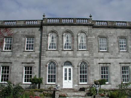 Cappoquin HouseCountry house · 425 yd
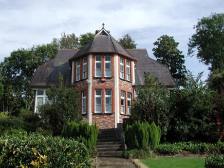 The PresbyteryPresbytery/parochial/curate's house · 591 yd
 Sweet Chestnut650 ydGlenshelane Blue WalkWalking route · 1648 ydWaterfallViewpoint · 1664 ydEmbanked enclosureFairy fort / ringfort · 1723 ydCoillte infoboardVisitor information · 1.0 miGlenshelane Red WalkWalking route · 1.3 mi
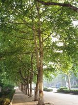 London Plane1.4 mi
 Battle of AffaneMajor battlefield · 2.0 mi
Pictures: National Inventory of Architectural Heritage; Miguel Angel Masegosa Martínez, Wikimedia Commons · CC BY 2.0; Taken by Fanghong, Wikimedia Commons · CC BY-SA 3.0; TheLizardQueen, Wikimedia Commons · CC BY 2.0
More archaeology and monuments in County Waterford · All of County Waterford
What do you know about this place?