What is recorded here
Located on a S-facing slope overlooking the town of Cappoquin, and at the point where the W-E River Blackwater turns S. Although traditionally reagarded as a Fitzgerald castle, there is no record of a castle until 1598 when it was occupied by a Mr. Hayles and razed by Thomas Fitzgerald of Cappagh, who had probably forfeited it in the Rebellion. In 1641 Capt. Hugh Croker on behalf of the Earl of Cork occupied the castle and successfully resisted an assault by the Confederate Catholics under General Purcell in 1643. However, it surrendered to Lord Castlehaven in 1645. It was subsequently captured by Cromwell in 1649. Nothhing remains of the castle, apart from one wall with a narrow doorway leading to a garden. (Redmond 1885-6a, 396-7; O'Connell-Redmond, 1918, 93-6)
O'Connell-Redmond, G. (1918) The castles of north-east Cork and near its borders. JCHAS 24, 1-6, 62-6, 93-103, 145-51. Redmond, G. (1885-6a) Notes on the history, antiquities, archaeoloical remains and legends connected with the western end of the county Waterford, JRSAI, 17, 394-405.
Located on a S-facing slope overlooking the town of Cappoquin, and at the point where the W-E River Blackwater turns S. Although traditionally reagarded as a Fitzgerald castle, there is no record of a castle until 1598 when it was occupied by a Mr. Hayles and razed by Thomas Fitzgerald of Cappagh, who had probably forfeited it in the Rebellion. In 1641 Capt. Hugh Croker on behalf of the Earl of Cork occupied the…
From the National Monuments Service (Archaeological Survey of Ireland) record WA021-035
The monument record does not grant public access. Check the route and ask the landowner before entering private land.
- What survives
- Recorded monument
Places near here
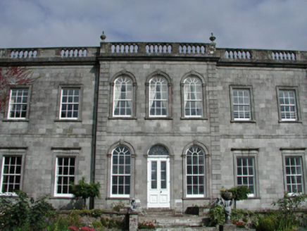 Cappoquin HouseCountry house · 32 yd
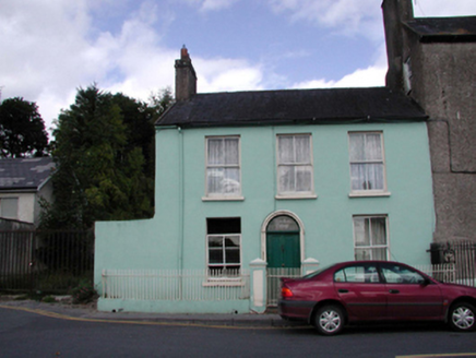 Woodbine CottageHouse · 236 ydTombBurial ground · 405 yd
 Sweet Chestnut418 ydIndicatedHoly well · 465 ydGlenshelane Blue WalkWalking route · 1.0 miCoillte infoboardVisitor information · 1.1 miWaterfallViewpoint · 1.2 mi
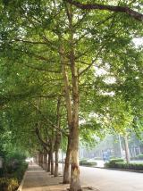 London Plane1.2 miGlenshelane Red WalkWalking route · 1.5 mi
 Battle of AffaneMajor battlefield · 1.8 mi
 Dromana GateHeritage attraction · 1.8 mi
Pictures: National Inventory of Architectural Heritage; Miguel Angel Masegosa Martínez, Wikimedia Commons · CC BY 2.0; Taken by Fanghong, Wikimedia Commons · CC BY-SA 3.0; TheLizardQueen, Wikimedia Commons · CC BY 2.0; Liam Hughes, Wikimedia Commons · CC BY 2.0
More castles and forts in County Waterford · All of County Waterford
What do you know about this place?