What is recorded here
Situated on a steep S-facing slope. Described as ‘St. Brigid’s Well’ on the 1840 and 1927 eds of the OS 6-inch map. A small well (dims. c. 0.6m x 0.6m) is now covered in, and provides water to local houses. It was venerated in the 19th century (OS Name Books), but there is no eividence of veneration and it is not now regarded locally as holy. Revised by: Michael Moore
Date of upload: 07 October 2011
From the National Monuments Service (Archaeological Survey of Ireland) record WA037-024
The monument record does not grant public access. Check the route and ask the landowner before entering private land.
- What survives
- Recorded monument
Places near here
St Bridget's WellSpring · 15 ydLeacht in Kilmaloo East,kilmaloo or Clashganny,kilmaloo WestLeacht · 305 yd farm house1140 ydfarm house1172 ydTemplemichael Castle (in ruins)Castle, tower house · 1.0 miSite of ChurchChurch · 1.1 miMolana AbbeyHeritage attraction · 1.3 miEuropean ash1.5 miEuropean Yew2.2 miCollegiate Church of Saint MaryHeritage attraction · 2.2 miFerry PointViewpoint · 2.4 miCaliso BayBeach / strand · 3.9 mi
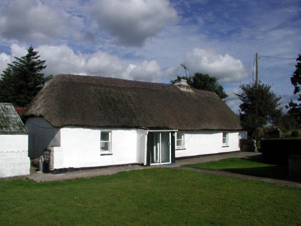 farm house1140 yd
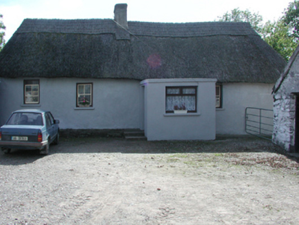 farm house1172 yd
 Templemichael Castle (in ruins)Castle, tower house · 1.0 mi
 Site of ChurchChurch · 1.1 mi
 Molana AbbeyHeritage attraction · 1.3 mi
 European ash1.5 mi
 European Yew2.2 mi
 Collegiate Church of Saint MaryHeritage attraction · 2.2 mi
 Ferry PointViewpoint · 2.4 mi
 Caliso BayBeach / strand · 3.9 mi
Pictures: National Inventory of Architectural Heritage; dougf, Geograph · CC BY-SA 2.0; Gfwc70, Wikimedia Commons · CC BY-SA 4.0; Mike Searle, Geograph · CC BY-SA 2.0; Willow, Wikimedia Commons · CC BY 2.5; Sitomon, Wikimedia Commons · CC BY-SA 2.0; The Speckled Bird, Wikimedia Commons · CC BY-SA 4.0; john berry, Geograph · CC BY-SA 2.0
More archaeology and monuments in County Waterford · All of County Waterford
What do you know about this place?