
What is recorded here
Situated towards the botttom of a severe E and SE-facing slope, just above the W bank of the N-S River Blackwater. It is marked as Tobairín Beannuighthe - Blessed Well - on 1927 ed. of the OS 6-inch map, and similarly on the 1840 ed. It is described locally as a stone-lined well, but it is not regarded as a holy well. It is not visible in an area that had recently been re-planted with coniferous trees.
Compiled by: Michael Moore
Date of upload: 02 October 2011
Linked to Saint Gobnait, the well is traditionally associated with cures for eye ailments and general healing. Local folklore suggests that the well's waters were once used in seasonal rituals, particularly during May Day, to ensure fertility and protection for the community.
The monument record does not grant public access. Check the route and ask the landowner before entering private land.
- What survives
- Recorded monument
Places near here
 IndicatedBawn · 894 yd
 Enclosure in Ballynaclash,clashmoreEnclosure · 1255 yd
 Ballynatray Housemill (water) · 1.1 mi
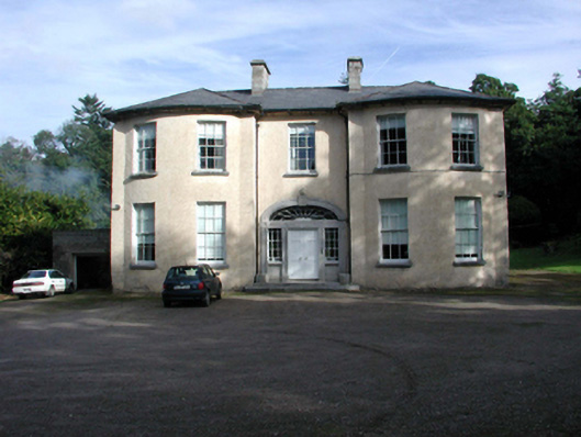 D'Loughtane Housecountry house · 1.3 mi
 Burnt mound in CrosseryBurnt mound · 1.3 mi
 D'Loughtane WoodForest · 1.5 mi
 Clashmore Heritage CentreHeritage attraction · 1.7 mi
 Molana AbbeyHeritage attraction · 1.9 mi
 European ashEuropean ash · 2.0 mi
 Castle (in ruins)Castle, tower house · 2.0 mi
 St Bridget's WellSpring · 2.3 mi
 Youghal Foxhole Loop walkWalking route · 3.7 mi
Other information
Photo: Credit not shown in the picture search · Rights wording not checked; contact us if this picture should be removed