
What is recorded here
Ballyheeny Castle stands as a ruined tower house beside the Licky river in County Waterford, its south wall still holding a broad base and gun loops that once watched the water. Garret FitzGerald of Dromana owned the land in 1641, though no castle appears in that account, leaving the true builder and purpose in shadow. By 1778 the structure was already marked as a ruin, suggesting a long decline from a working defensive home into a quiet stone skeleton at the river’s edge.
Situated at the bottom of a gentle S-facing slope and at the edge of the ravine of the E-W Licky river, with the stream c. 20m to the S. Land at Ballyheeny was owned by Garret FitzGerald of Dromana (WA029-021001-) in 1641, but there is no record of a castle, although a court is mentioned (Simington 1942, 31). The castle is marked as a ruin on a Taylor and Skinner map (1778, 128). The S wall with a base-batter survives almost complete (L 13.7m; Wth 1.7m). The entrance (Wth 1.3m) is towards the centre of the wall with a destroyed newal stairs at the W end, which has at least one light with gun-loops. There is evidence of at least four storeys, with an E-W vault over the first floor.
Simington, R. C. (ed.) (1942) The civil Survey AD 1654-1656, vi, the County of Waterford. Irish Manuscripts Commission. Dublin.
Taylor, G. and Skinner, A. (1778) Maps of the roads of Ireland. Reprint 1969, ed. by J. H. Andrews. Irish University Press. Shannon.
The above description is derived from the published 'Archaeological Inventory of County Waterford' (Dublin: Stationery Office, 1999). In certain instances the entries have been revised and updated in the light of recent research.
Revised by: Michael Moore
Date of upload: 07 October 2011
The monument record does not grant public access. Check the route and ask the landowner before entering private land.
- What survives
- Recorded monument
Places near here
 Ballyheeny BridgeOfficially recorded historic building · 301 yd
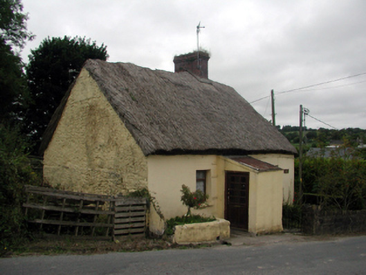 The Thatchhouse · 1236 yd
 Kilmaloo LoughWood · 1339 yd
 St Mochuas WellHoly well · 1383 yd
 Cross in ClashmoreCross · 1418 yd
 Clashmore Heritage CentreHeritage attraction · 1423 yd
 D'Loughtane WoodForest · 1.5 mi
 St Bridget's WellSpring · 1.7 mi
 Site of CastleCastle, unclassified · 1.8 mi
 Templemichael Castle (in ruins)Castle, tower house · 2.5 mi
 Molana AbbeyHeritage attraction · 2.6 mi
 Youghal Foxhole Loop walkWalking route · 2.6 mi
Other information
Photo: Credit not shown in the picture search · Rights wording not checked; contact us if this picture should be removed